What is recorded here
In pasture on the slopes of the Ox Mountains and commanding an extensive outlook to the S and SW. An orthostat to the W and two alongside 2.5m to the E represent the S side (L 7m) of a WSW-facing gallery. A displaced stone lies against each of the latter two orthostats. Two orthostats of the N side of the gallery are in place, one opposite the gap in the southern side and the second 0.7m to the E. There is a displaced stone alongside the western of these two orthostats. It is clear that the gallery both narrowed and decreased in height from W to E. There are slight traces of a mound at the W end of the structure. (Ó Nualláin 1989, 73, no. 115)
The above description is derived from the published 'Archaeological Inventory of County Sligo' compiled by Ursula Egan, Elizabeth Byrne, Mary Sleeman with Sheila Ronan and Connie Murphy (Dublin Stationery Office, 2005).
Date of upload: 18 January 2008
See linked document with details from Seán Ó Nualláin, Survey of the Megalithic Tombs of Ireland. Volume V. County Sligo. (Dublin: Stationery Office, 1989)
Portal dolmen; Neolithic period. The site represents a significant megalithic monument, likely used for burial and ritual purposes, reflecting early communal social structures in the region.
The monument record does not grant public access. Check the route and ask the landowner before entering private land.
- What survives
- Recorded monument
Places near here
 CashelFairy fort / stone ringfort · 1248 yd
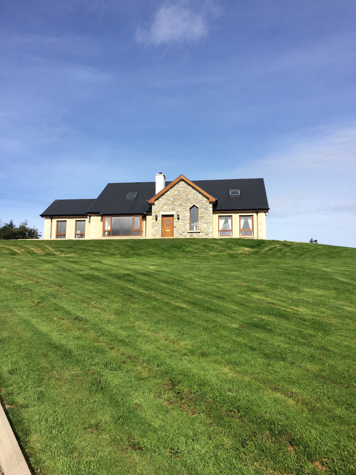 CashelmoreFairy fort / stone ringfort · 1.3 mi
 Castle (in Ruins)Castle, tower house · 1.4 mi
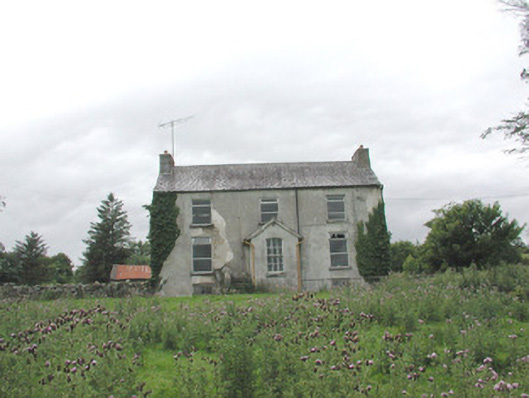 The Gleberectory/glebe/vicarage/curate's house · 1.9 mi
 Church in KilmacteigeChurch · 1.9 mi
 KnockasliggaunMountain / peak · 3.4 mi
 Hennigan's Heritage CentreHeritage attraction · 4.4 mi
 HawthornHawthorn · 4.5 mi
 Lough Talt TrailVisitor information · 4.5 mi
 Castle Carragh in RuinsCastle, unclassified · 4.9 mi
 Largan HillMountain / peak · 4.9 mi
 Carrick WoodWood · 6.1 mi