What is recorded here
The site, in a clear-felled area of forest, lies just uphill from a stream on the W slope of Barradoos Mountain which is on the N side of the Slieve Bloom range. A stone, 2.30m long, 70cm thick and 70cm high, aligned N-S, seems to be set. Alongside to the W are four prostrate stones measuring 1.50m to 2.10m in maximum dimension and a fifty partly-buried. There may have been some form of megalithic structure here but its nature is notknown. According to a local story the stones were dislodged by the soldiery in 1798. (de Valera and O Nuallain 1972, 97, No. 1.).
The above description is derived from the published 'Archaeological Inventory of County Laois' (Dublin Stationery Office, 1995) compiled by P. David Sweetman, Olive Alcock and Bernie Moran. In certain instances the entries have been revised and updated in the light of recent research.
Date of upload: 17 December 2007
A portal dolmen dating to the Neolithic period; its significance lies in its alignment and positioning within the Slieve Bloom landscape, indicative of early ritual or funerary practices.
The monument record does not grant public access. Check the route and ask the landowner before entering private land.
- What survives
- Recorded monument
Places near here
 Enclosure in KillinaparsonEnclosure · 1066 yd
 Enclosure in Magherabane (ballybrit By.)Enclosure · 1268 yd
 Giant's Grave LoopWalking route · 1602 yd
 Church (in Ruins), Graveyard, CarrigeenChurch · 1.5 mi
 Site of CastleCastle, unclassified · 1.7 mi
 Letter Ho.House, 17th century · 1.7 mi
 Graveyard in LetterGraveyard · 1.7 mi
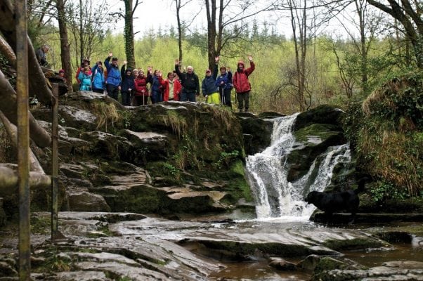 Slieve Bloom WayWalking route · 1.8 mi
 Bridge in CadamstownBridge · 1.8 mi
 Partiall hachuredBawn · 1.9 mi
 Kinnitty ForestForest · 2.1 mi
 Slieve Bloom MountainsMountain range · 2.5 mi