The monument is 1.5km from the E side of Lough Swilly, at the edge of a terrace on the NE slope of Mouldy Hill and above the valley of the Mill River. The land surrounding the site bears a light cover of peat broken by numerous rock outcrops. There is a good outlook to the N and E across the central hilly area of the…
Read the whole record
The monument is 1.5km from the E side of Lough Swilly, at the edge of a terrace on the NE slope of Mouldy Hill and above the valley of the Mill River. The land surrounding the site bears a light cover of peat broken by numerous rock outcrops. There is a good outlook to the N and E across the central hilly area of the Inishowen peninsula. The rising slope of Mouldy Hill limits the view to the S and W.
The monument consists of a partly collapsed roofed gallery, aligned WSW-ENE. It is c. 5m long and divided by a septal-stone into a portico and main chamber of approximately equal length. The portico is 1.4m wide at its inner end. The main chamber is 2.4m long and c. 1.5m wide. A facade-stone at the W marks the front of the portico. A leaning orthostat to the N of this may be part of the gallery side or may represent close-set outer-walling. If this is part of the gallery side, it may be that the lone facade-stone acted to divide the gallery entrance. A slab that covered the inner end of the portico now lies in a sloping position across it. A large roof stone above the slab also covers the greater part of the main chamber. This too lies in a sloping position because of the partial collapse of the S side of the chamber. A low heather-grown mound, subrectangular in outline and c. 0.3m high, is visible around the eastern half of the gallery. Its overall dimensions are 6m N-S by 5.5m E-W. There are three displaced slabs at the N side of the mound and another 1.5m beyond the NW corner of the structure. These range from lm to 2m in maximum dimension. A single orthostat survives on each side of the portico, and the septal-stone, which is 2.4m E of the facade- stone, is set between the inner ends of these. The septal-stone is exposed to a height of 0.7m at its eastern face and 0.5m at its western face. A slight groove has been cut in the top of this stone. The sidestone on the S side of the portico is split vertically at about mid-length. The inner half of the stone, to the E of the split, is 0.6m high but may have been taller, and the outer half is 1.15m high. Immediately outside the inner end of this is a partly concealed low stone 0.2m high. This appears to be in situ. The sidestone on the N side of the portico rises 0.3m above the top of the septal-stone. The W end of this sidestone is overlapped slightly by a low set stone, now 0.25m high but perhaps originally taller. The sidestone here supports the N end of the roofstone that lies across the inner end of the portico. The S end of this roof stone now rests on the floor of the portico but would originally have been supported on top of the S sidestone. When in place its underside would have been c. 0.3m above the top of the septal-stone. It measures 1.8m by lm and is 0.25m thick. The back of the main chamber has been disturbed by digging. A large orthostat forms the greater part of its N side. This rises 1.1m above the present floor of the chamber. A small stone, 0.25m high, is set askew between the W end of the last and the orthostat flanking the septal-stone. A single large stone, 2.4m long, 0.15m thick and c. 1.5m high, formed the S side of the chamber. This is now broken. Part of the stone is still in situ at the inner end of the chamber and is 1.3m long, 0.15m thick and 0.7m high at its inner face. The detached upper part rests on this and also leans inward against the stone forming the back of the chamber. The backstone, 1.7m high, is set between the gallery sides. The large roof stone above the gallery, now sloping to the S, rests on the detached portion of the southern sidestone and on the smaller roof stone. It is 3.6m long by 2.5m wide near its outer end, from where it narrows to both extremities, and is up to 0.4m thick. The front of this great stone overlies the inner half of the portico. The lone facade-stone is 1.5m high. The leaning stone to the N of it would stand 1.3m high if upright. The groove cut in the top of the septal-stone is 0.5m from the inner face of the N side of the gallery. It runs parallel to the long axis of the monument and is 70mm long (the thickness of the top of the stone), 3mm wide and 2mm deep. The surface of this groove is very smooth. Its age and function are quite uncertain. A brief description in an OS Revision Name Book (1848) indicates that the structure was then in much the same condition as now, although the 'vast quantity of loose stones' then around it is no longer apparent. OS Revision Name Book, sheet 29 (1848), 38; Doherty 1891, 65 ('cromleac' in Buncrana may refer); Borlase 1897, 230, Inishowen West no. 3; Somerville 1929, 162-4 (plan, incorrectly captioned 'Luddan townland'); H. Morris 1947, 41, no. B9; S.P. O'Riordan 1947, 43; Colhoun 1949, 116 (photograph); OS Field Memorandum, sheet 29 (1949), A/138b/9 (sketch); Anon. 1951, 350; Killanin and Duignan 1962, 113; Killanin and Duignan 1967, 127; Ó Nualláin 1983a, 41-2, no. 104; SMR 1987, 29:44; Ó Nualláin 1989, 136; Colhoun 1995, 70 (photograph); RMP 1995, 29:44. The above description was published in the 'Survey of the Megalithic Tombs of Ireland. Volume VI, County Donegal.' Compiled by: Eamon Cody (Dublin: Stationery Office, 2002). Volume VI. County Donegal. (Dublin: Stationery Office, 2002)

 farm house, house1222 yd
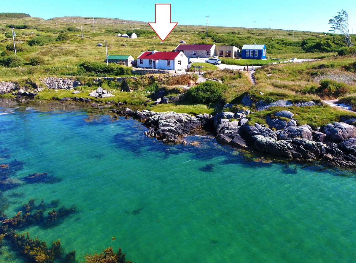 White Strand Beach HouseGuesthouse · 1553 yd
 milestone/milepost1.1 mi
 Inishowen Gateway HotelHotel · 1.1 mi
 Buncrana Golf ClubGolf course · 1.1 mi
 North West Golf ClubGolf course · 1.1 mi
 Holy well in Lisfannan (fahan Ed)Holy well · 1.1 mi
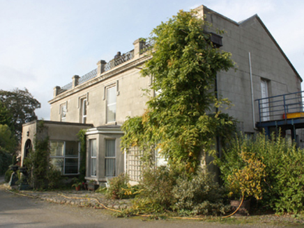 Millfield HouseHouse · 1.1 mi
 Buncrana Railway StationRailway station · 1.2 mi
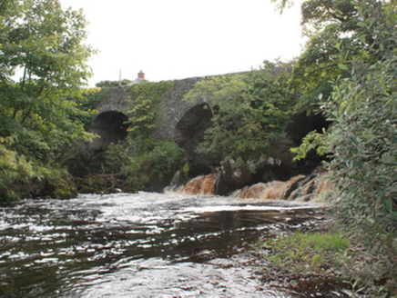 Mill River BridgeBridge · 1.2 mi
 Ardaravan Buried Stone CistCist · 1.3 mi
 LisfannonOfficial bathing water · 2.0 mi

What do you know about this place?Tap to add a comment or ask a question