What is recorded here
Mammy, I must ask you to clarify which section you want written. That is all I need before I can help.
There is no trace of this feature, which was named 'Giant's Grave' on the 1835 edition of the OS 6-inch map and shown but not named on the 1848-9 edition. It is mentioned in an OS Name Book (1835), but no details are provided about what it may have been.
OS Name Book, Kilmacrenan parish (1834-5), book 1, 19; Borlase 1897, 231, Kilmacrenan no. 5.
The above description was published in the 'Survey of the Megalithic Tombs of Ireland. Volume VI, County Donegal.' Compiled by: Eamon Cody (Dublin: Stationery Office, 2002).
Date of upload: 22 September 2008
This remains an important historical record, but the official description says the monument is no longer visible or has been destroyed. The monument record does not grant public access. Check the route and ask the landowner before entering private land.
- What survives
- No visible remains or recorded as destroyed
Places near here
 Cranberry IslandIslet · 1375 yd
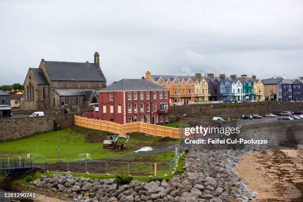 DoonbaneArchaeological place · 1.2 mi
 WoodquarterForest recreation place · 1.4 mi
 Enclosure in Raithnigh (tc An Cheathrú Chaol)Enclosure · 1.5 mi
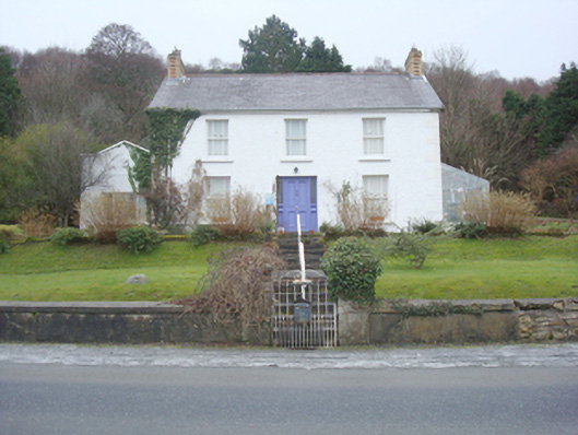 The Curlewhouse · 1.6 mi
 Rough IslandIslet · 1.6 mi
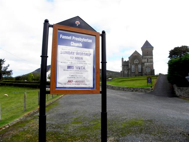 Fannet Presbyterian Churchchurch/chapel · 1.7 mi
 Moross CastleCastle, tower house · 3.7 mi
 Loughsalt MountainMountain / peak · 5.1 mi
 PortsalonOfficial bathing water · 5.3 mi
 Ballymastocker StrandViewpoint · 5.4 mi
 Wild Atlantic Way:Ballymastocker StrandVisitor information · 5.4 mi