What is recorded here
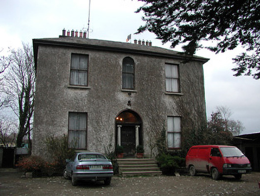
Detached three-bay two-storey split-level house, c.1875, possibly originally mill owner's house with three-bay three-storey rear (north-east) elevation. Hipped slate roof on a quadrangular plan with clay ridge tiles, rendered chimney stacks on axis with ridge, and iron rainwater goods on rendered eaves. Unpainted roughcast walls. Square-headed window openings with round-headed window opening to centre first floor, cut-stone sills, and two-over-two timber sash windows. Round-headed door opening approached by five steps with Ionic doorcase, and timber panelled door having overlight. Set back from road in own grounds.
Superseding an earlier range in the grounds as indicated by archival editions of the Ordnance Survey a pleasantly-appointed middle-size house of modest architectural aspirations retains the original composition attributes together with most of the historic fabric. Sparsely-detailed the architectural design value of the house is identified by the balanced symmetrical arrangement of the openings centred on a Classically-detailed doorcase. Possibly originally intended as a mill owner's house as suggested by the position in close proximity to the adjacent Gaul's Flour Mill (Gaul's Corn Mill) complex (not included in survey) the house remains an important element of the mid to late nineteenth-century domestic architectural heritage of County Kilkenny.
This does not grant access. Most recorded buildings are privately owned; view them only from public ground unless the owner allows entry.
Places near here
 Gaulsmill Bridgebridge · 113 yd
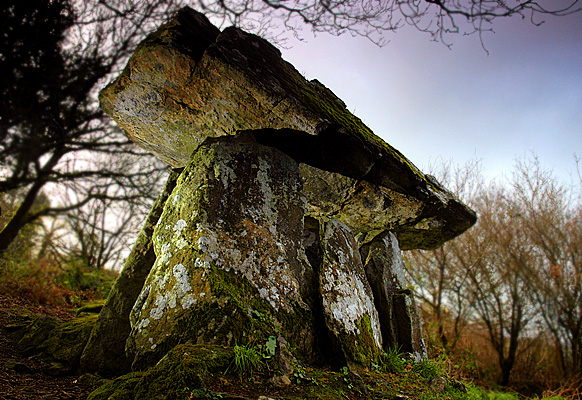 Enclosure in Gaulstown (ida By., Rossinan Ed)Enclosure · 1356 yd
 Graul Burkes Castle (Site of)Castle, unclassified · 1438 yd
 Gaul Burke's CastleArchaeological place · 1483 yd
 Dunkitt Church (in Ruins)Church · 1737 yd
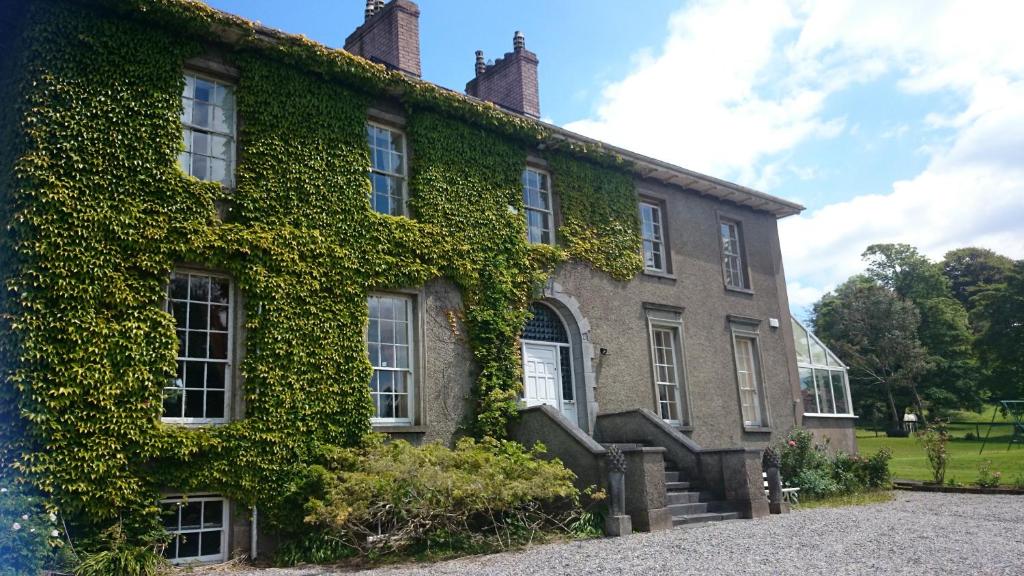 Enclosure in NewrathEnclosure · 1.6 mi
 Native Woodland Trust:Grace Dieu ReserveWood · 2.9 mi
 Native Irish Tree TrailWood · 3.9 mi
 Mount Congreve GardensHeritage attraction · 5.5 mi
 Waterford & Suir Valley RailwayHeritage attraction · 6.3 mi
 Donnell's HillMountain / peak · 9.0 mi
 Tower HillMountain / peak · 9.6 mi
Other information
Photo: National Inventory of Architectural Heritage · Website use allowed for educational or private purposes with source credit