What is recorded here
Annotated 'Gattawheerie (Site of)' on the Cassini ed. OSi 6-inch map. No antiquity depicted at this location on the 1840 ed. OSi 6-inch map. Lynch (1897, 351) recorded the following details about this monument; 'The little gate at the opposite side of the road, and fronting the entrance to Rockbarton, is called Gattawheerie, or Power's Gate. Power was a celebrated robber who preserved this road in the good old times'.
Compiled by: Caimin O'Brien
Date of upload: 10 December 2020
The monument record does not grant public access. Check the route and ask the landowner before entering private land.
- What survives
- Recorded monument
Places near here
 Stone CircleFairy fort / stone ringfort · 244 yd
 RoadRoad, road/trackway · 372 yd
 CastleCastle, unclassified · 489 yd
 Cahirguillamore, hachuredFairy fort / stone ringfort · 512 yd
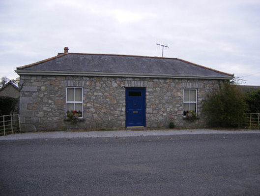 Rockbarton Housegate lodge, outbuilding · 821 yd
 (Site of) Tullabracky CastleCastle, unclassified · 1.1 mi
 Lough GurVisitor information · 1.5 mi
 Grange Stone CircleArchaeological place · 1.6 mi
 KnockainyMountain / peak · 4.5 mi
 European ashEuropean ash · 4.5 mi
 Villiers WellSpring · 5.1 mi
 Flat cemetery in Knockainy WestFlat cemetery · 5.5 mi