What is recorded here
The OS Letters describe a destroyed W gate as geata na gcoileach, they also mention a round building known as Crow's tower which stands at the town to the right of the road to Cashel (O'Flanagan 1930, vol. 2, 78). This tower may have been a mural tower associated with the town walls of Thurles (Carey and Farrelly 1994, 85-100). It was locally believed that five castles were pulled down to construct the courthouse in Thurles (O'Flanagan 1930, vol. 2, 78).
The above description is derived from 'The Archaeological Inventory of County Tipperary. Vol. 1 - North Tipperary' compiled by Jean Farrelly and Caimin O'Brien (Dublin: Stationery Office, 2002). In certain instances the entries have been revised and updated in the light of recent research.
Date of upload/revision: 22 September 2008
The monument record does not grant public access. Check the route and ask the landowner before entering private land.
- What survives
- Recorded monument
Places near here
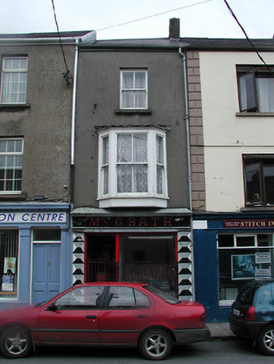 McGrathhouse · 36 yd
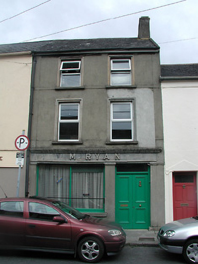 M. Ryanhouse · 58 yd
 Black CastleCastle · 58 yd
 Town defences in Thurles TownparksTown defences · 101 yd
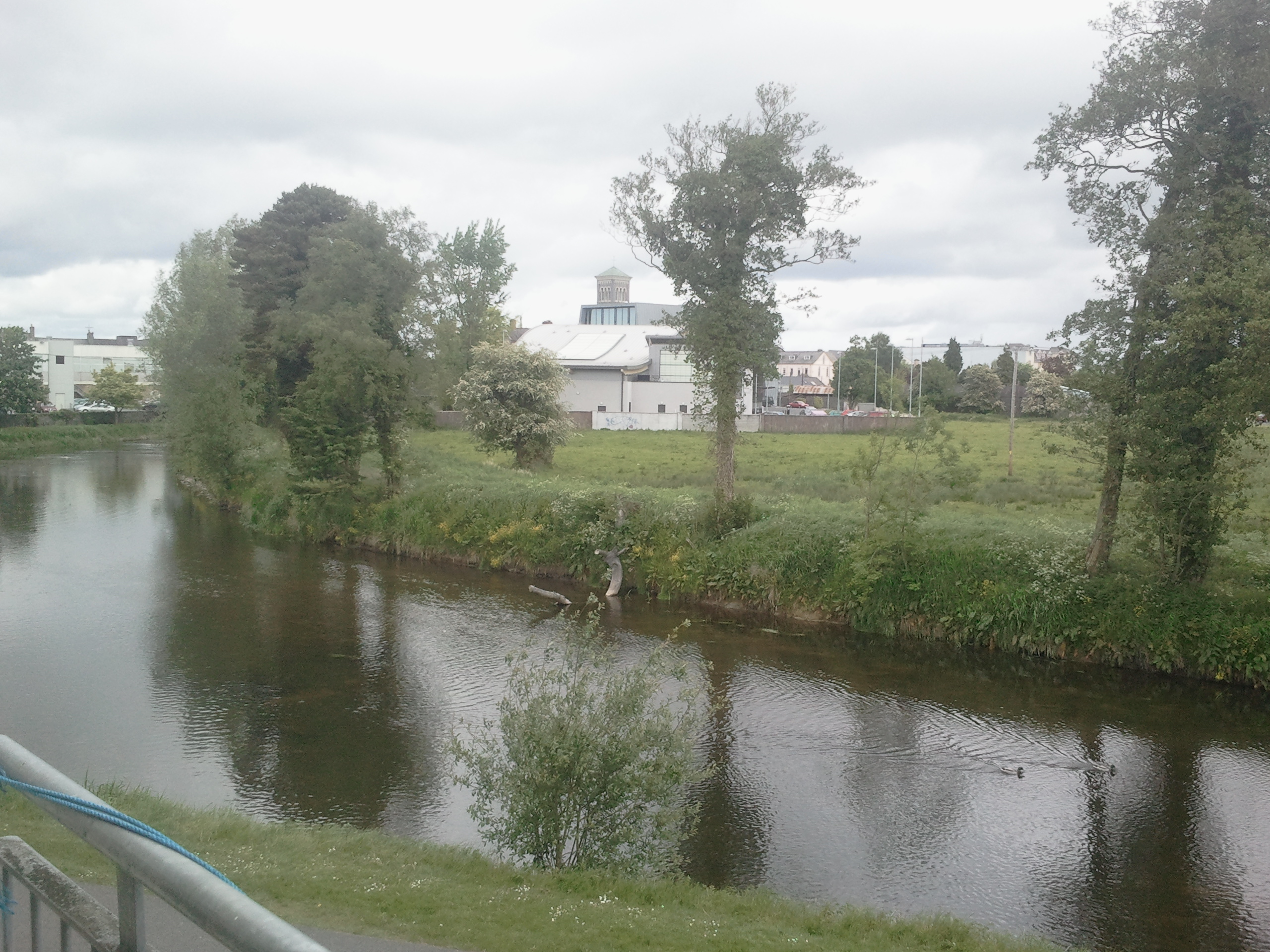 OutlinedCastle, motte · 108 yd
 Lár na PáirceMuseum · 134 yd
 Pheasant IslandHeritage attraction · 365 yd
 European ashEuropean ash · 876 yd
 Enclosure in GlengarriffEnclosure · 1161 yd
 WoodlandWood · 1481 yd
 Killough Hill (site of)Mountain / peak · 4.8 mi
 Horse and JockeyVisitor information · 5.2 mi