What is recorded here
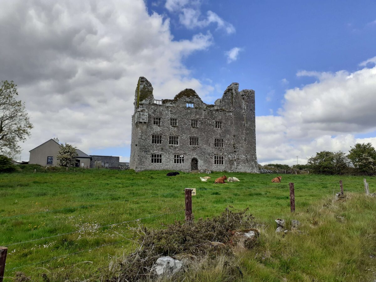
Named ‘Gate Piers’ in Gothic script on the 1916 OS 6-inch map c. 80m SW of the 17th-century fortified house at Leamaneh (CL016-032003-). The piers are no longer extant but were probably associated with the house. A photograph taken in 1950 (SMR file) shows the two piers extant on the S side of the road, but somewhat damaged. They were built of dressed limestone blocks and each had a rebate on the inside. Some loose stones from the W pier were present.
The following image has been uploaded:
CL016-032009-_01.jpg View of gate piers from SW.
Compiled by: Mary Tunney
Date of upload: 14 November 2018
The monument record does not grant public access. Check the route and ask the landowner before entering private land.
- What survives
- Recorded monument
Places near here
 Enclosure in Leamaneh SouthEnclosure · 70 yd
 Leamaneh Castle (in ruins)House, fortified house · 112 yd
 Leamaneh CastleCastle · 112 yd
 CaherscreebeenFairy fort / stone ringfort · 412 yd
 Fergus River CaveCave · 1.3 mi
 Kiltoraght Church (in ruins)Church · 1.5 mi
 Kiltonaghty Church (in ruins)Church · 2.0 mi
 Farbrega RockNamed rock · 2.3 mi
 Burren Centre KilfenoraVisitor information · 3.2 mi
 High CrossHeritage attraction · 3.2 mi
 Inchiquin IslandIslet · 3.3 mi
 Rock IslandIsland · 3.4 mi