What is recorded here
On the N shore of Garadice Lough. A grant of almost 1,000 acres at Garadice was made to Nicholas Pynnar in 1661-2 (Mac an Ghalloglaigh 1971, 251). A T-shaped house has a three-bay, two-storey over basement N-facing front and a three-bay, two-storey return at the S. It is still occupied, and is possibly of late 17th- or early 18th-century date. Archaeological testing (99E0332) uncovered the foundations of a W wing which had been removed in the early 20th century (Murphy 2000).
The above description is derived from 'The Archaeological Inventory of County Leitrim' compiled by Michael J. Moore (Dublin: Stationery Office, 2003). In certain instances the entries have been revised and updated in the light of recent research.
Date of upload: 23 September 2008
The monument record does not grant public access. Check the route and ask the landowner before entering private land.
- What survives
- Recorded monument
Places near here
 Enclosure in Garadice (carrigallen By.)Enclosure · 192 yd
 IndicatedHilltop enclosure · 1406 yd
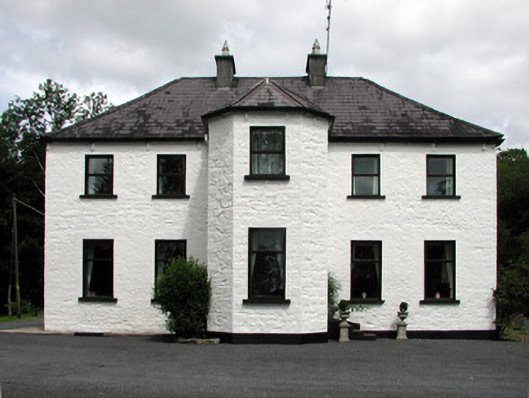 Corduff Househouse · 1418 yd
 Church (in Ruins)Church · 1431 yd
 Bawn in Cherry IslandBawn · 1.3 mi
 Swan Island pet farmHeritage attraction · 1.3 mi
 Cherry IslandIslet · 1.4 mi
 BatteryBawn · 1.6 mi
 Crane IslandIslet · 1.6 mi
 Black PoplarBlack Poplar · 1.7 mi
 Cornagunleog ForestForest · 2.3 mi
 DerrynigginMountain / peak · 2.6 mi