What is recorded here
In a coniferous wood, on the W side of the small landlocked island of Knocknacappul on the S side of Kilmakilloge Harbour. Four upright stones form a quadrangle and are accompanied by a monolith (1m x 0.65m; H 0.75m), which stands 13.3m to the N. The long sides of the quadrangle are aligned E-W. The NW stone (H 2.4m; 0.75m x 0.4m) is the tallest and stands 1.95m N of the SW stone (H 0.7m; 0.6m x 0.3m). The SE stone (H 1.15m; 1m x 0.55m) is 1.1m to the E and 1.25m N of this is the NE stone (H 0.35m; 0.5m x 0.45m). (Ó Nualláin 1984b, 71, no. 5)
The above description is derived from the published 'Archaeological Inventory of County Kerry. Volume I: South-West Kerry' (Dublin: Stationery Office, 2009). In certain instances the entries have been revised and updated in the light of recent research.
Date of upload: 30 May 2011
The monument record does not grant public access. Check the route and ask the landowner before entering private land.
- What survives
- Recorded monument
Places near here
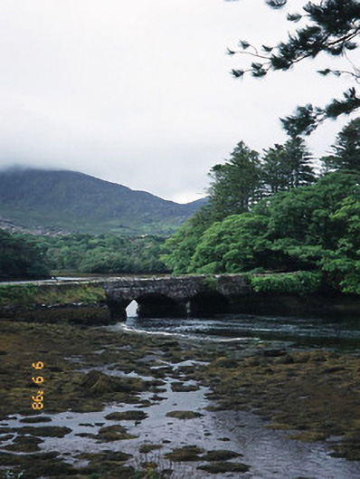 Cappul Bridgebridge · 416 yd
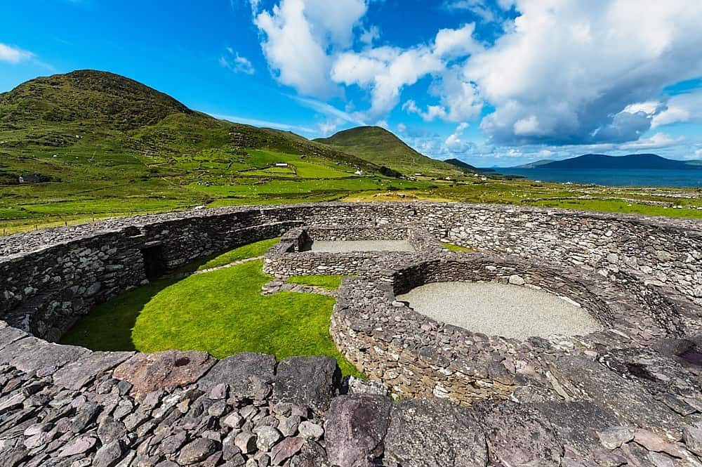 Fairy fort / earthen ringfort in Lauragh LowerFairy fort / earthen ringfort · 688 yd
 Man-made underground passage in Lauragh UpperMan-made underground passage · 689 yd
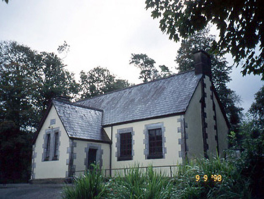 Lauragh National Schoolschool · 706 yd
 New Zealand broadleafNew Zealand broadleaf · 1019 yd
 Japanese cedarJapanese cedar · 1032 yd
 CummeennahillanMountain / peak · 1.3 mi
 KnockastumpaMountain / peak · 1.6 mi
 Crane IslandIslet · 1.6 mi
 Duck RockIslet · 1.6 mi
 DroppaCliff · 3.9 mi
 Ardgroom Pulleen LoopWalking route · 4.7 mi