What is recorded here
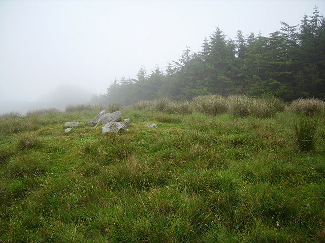
Three stones stand in a neat row on flat pasture near the Durrus river, stretching four metres from northeast to southwest. They are not huge, yet their spacing and alignment suggest deliberate placement rather than random collapse. A loose stone rests beside the first, and a small cairn sits two metres to the north, as if the row belonged to a larger arrangement now lost. The stones may have marked a boundary, a path, or a place of remembrance, but their exact purpose has faded with the people who set them. What remains is a quiet line of rock in an open field, waiting to be read by someone who knows how to look.
On flat pasture in valley and 100m NW of Durrus river. Row of three stones, aligned NE-SW, 4.2m in overall length. NE stone is 0.7m L, 0.4m T and 0.6m H. A loose stone, 1.5m in maximum dimension, lies beside it at NW. Next stone, 1.2m to the SW, is 0.7m L, 0.5m T and 0.75m H. The SW stone, 1.15m from last, is 0.9m L, 0.5m T and 0.75m H. Cairn (CO131-008001-) 2m to N. (O Nualláin 1988, 237, no. 52)
The above description is derived from the published 'Archaeological Inventory of County Cork. Volume 1: West Cork' (Dublin: Stationery Office, 1992). In certain instances the entries have been revised and updated in the light of recent research.
Date of upload/revision: 14 January 2009
Likely dating to the Neolithic or Bronze Age, the row of stones may have functioned as a ritual or territorial marker. No specific folklore is recorded, but such alignments are often associated with ceremonial or astronomical practices in prehistoric Ireland.
The monument record does not grant public access. Check the route and ask the landowner before entering private land.
- What survives
- Recorded monument
Places near here
 Durrus Church (in Ruins)Church · 483 yd
 Ardrah FortFairy fort / earthen ringfort · 1427 yd
 Letterlicky FortFairy fort / earthen ringfort · 1571 yd
 Scart Castle (Site of)Castle, unclassified · 1.2 mi
 farm housefarm house · 1.2 mi
 Barnageehy Loop WalkWalking route · 1.5 mi
 Derrylahard EastMountain / peak · 1.7 mi
 Seskin ViewViewpoint · 2.0 mi
 KnockboolteenaghMountain / peak · 2.3 mi
 GinkgoGinkgo · 2.5 mi
 Bantry HouseHeritage attraction · 2.7 mi
 Tourist OfficeVisitor information · 2.9 mi