What is recorded here
Two stones stand knee-high in pasture above Dunmanus Bay, aligned toward the northeast like a gesture rather than a monument. They are small enough to touch, close enough to measure with a outstretched arm, yet they have watched the river valley and sea horizon for longer than memory. In that size and silence, Gallauns becomes a place for thinking with the body: walk the line, mark the distance, and ask what the view was doing when the stones were set.
In pasture on E side of Kilchrohane river overlooking Dunmanus Bay. Stones, aligned NNE-SSW, stand 1.2m apart; overall length 2.75m. NE stone is 0.7m L, 0.6m T and 1.15m H. SW stone is 0.6m L, 0.6m T and 1.25m H. (O Nualláin 1988, 248, no. 140; Roberts 1988, Ch. 4, no. 59)
The above description is derived from the published 'Archaeological Inventory of County Cork. Volume 1: West Cork' (Dublin: Stationery Office, 1992). In certain instances the entries have been revised and updated in the light of recent research.
Date of upload/revision: 14 January 2009
The monument record does not grant public access. Check the route and ask the landowner before entering private land.
- What survives
- Recorded monument
Places near here
 Kilcrohane Ch(in rns)Church · 248 yd
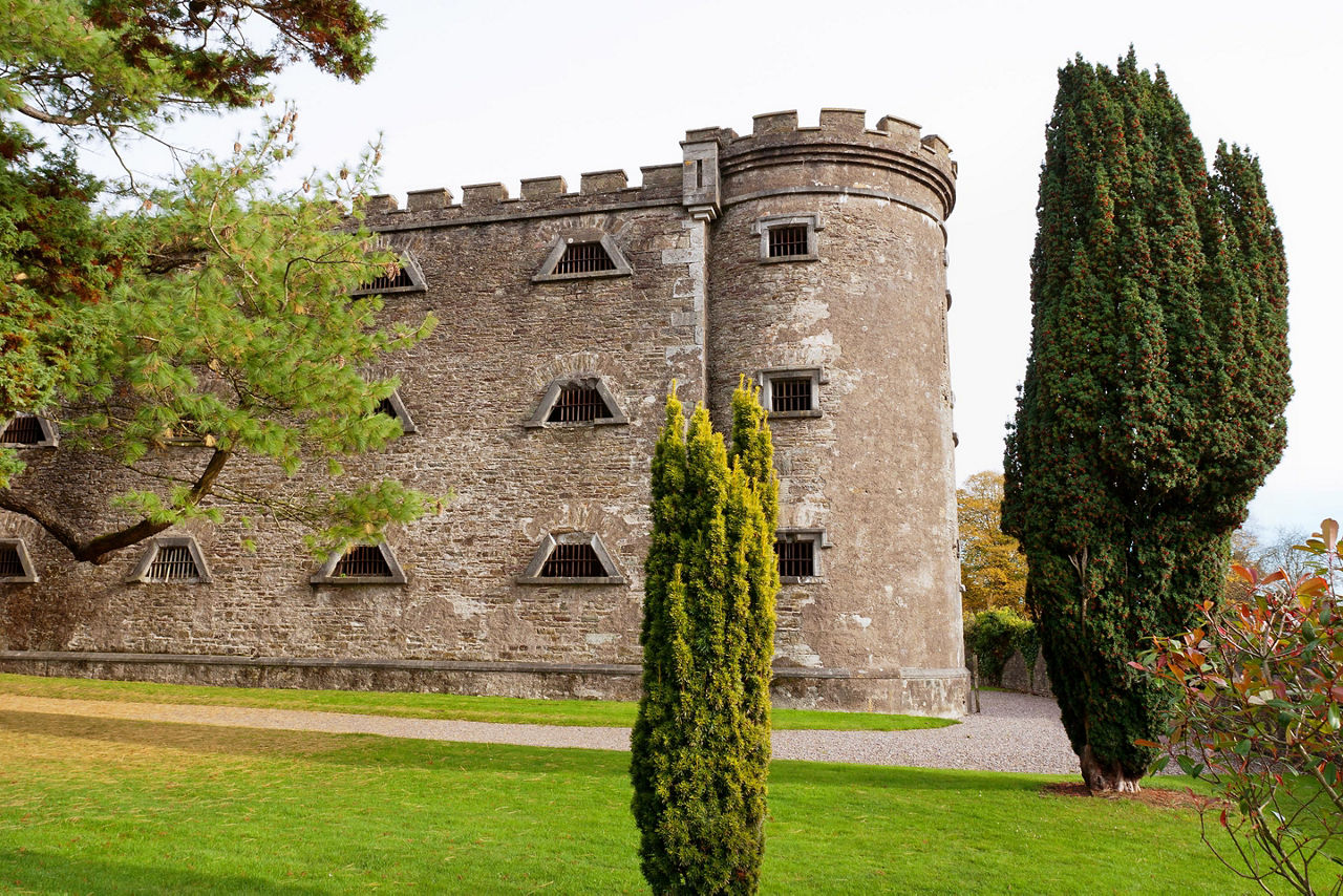 Man-made underground passage in KilcrohaneMan-made underground passage · 291 yd
 IndicatedFairy fort / stone ringfort · 336 yd
 Nora DaltonMemorial · 426 yd
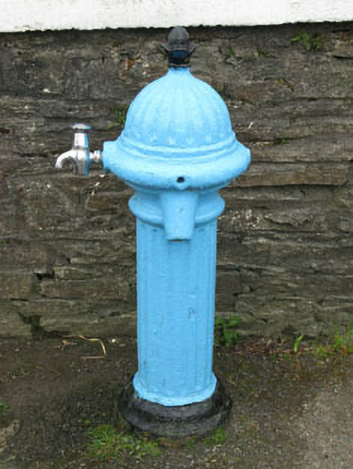 water pumpwater pump · 512 yd
 Funeral path loopWalking route · 534 yd
 Farranamanagh Loop WalkWalking route · 1222 yd
 Stone RowHeritage attraction · 1274 yd
 Finn McCool's SeatViewpoint · 1.4 mi
 SeefinMountain / peak · 1.5 mi
 Mass RockMemorial · 1.5 mi
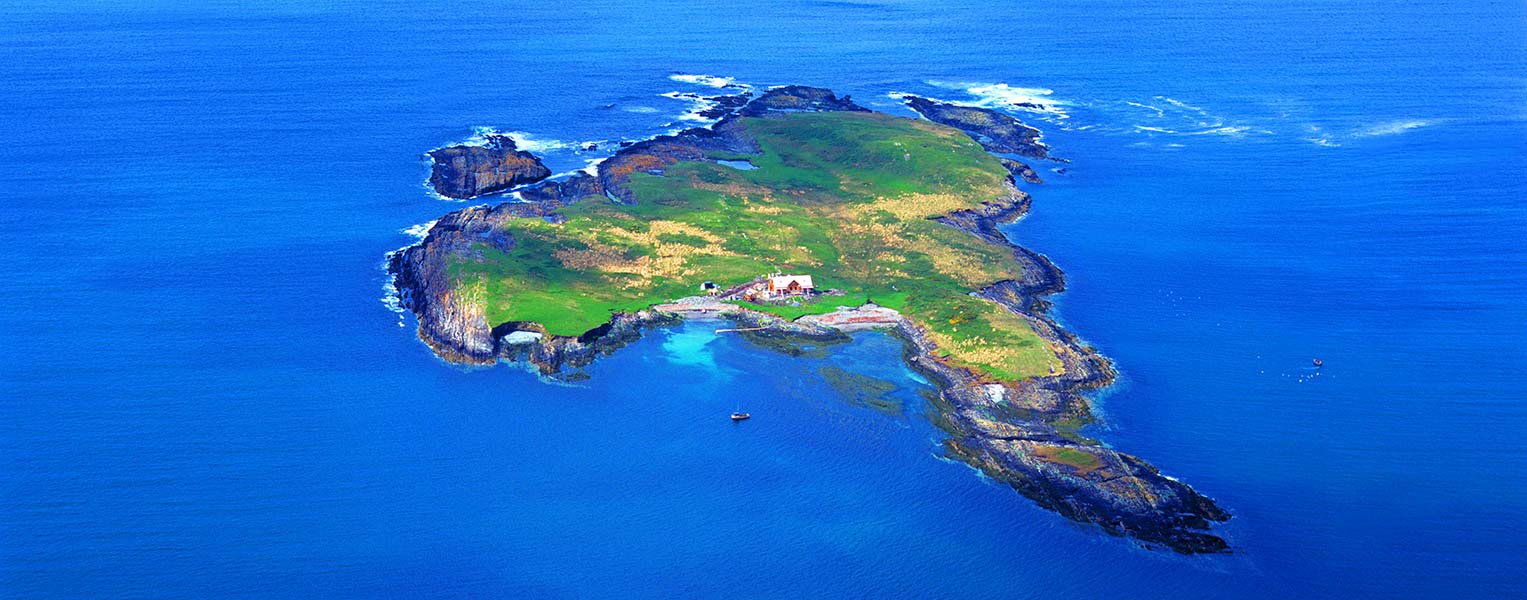 Carbery IslandIslet · 1.7 mi