What is recorded here
Two stones lean together on a small rise beside the Kealduff river, one taller and tilted, the other squat and close behind it. They are not a grand circle or a mysterious chamber, but a small stubborn pair, the kind of mark a townland might have kept for itself. In that ordinary size there is more life than in a monument stripped of place.
This pair of standing stones is located on a small rise on the E bank of the Kealduff river. The larger of the two occurs at NNE, and inclines to SW. It stands 1.75m high and measures 1.1m x .65m at base; NNE- SSW. The second stone, a squat boulder, is located .95m to SW. It stands 1.3m high at its S edge, and measures 1.1m x .55m at base. A build-up of stone debris, both against and between the stones, is probably the result of field clearance (Ó Nualláin 1988,250).
The above description is derived from A. O'Sullivan and J. Sheehan (compilers), 'The Iveragh peninsula: an archaeological survey of South Kerry'. Cork University Press (1996), no. 122. In certain instances the entries have been revised and updated in the light of recent research.
Date of upload: 28 July 2013
Likely dating to the Late Neolithic or Bronze Age, the Gallauns – Gearha North stones may have functioned as boundary markers, ritual monuments, or astronomical alignments. No specific folklore or detailed local tradition is recorded for this site.
The monument record does not grant public access. Check the route and ask the landowner before entering private land.
- What survives
- Recorded monument
Places near here
 SheepfoldHut site · 603 yd
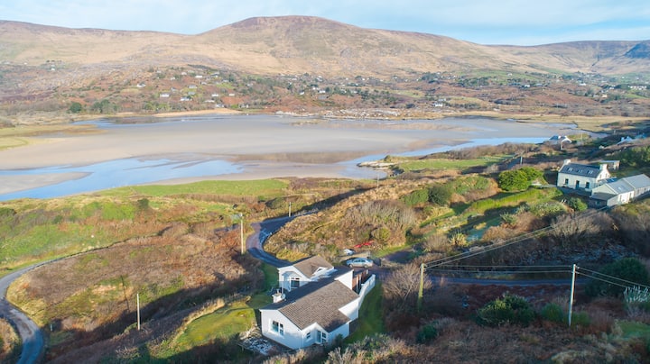 Hut site in Gearha NorthHut site · 1522 yd
 An Cnoc RiabhachMountain / peak · 1.9 mi
 EskineMountain / peak · 2.2 mi
 Ballaghbeama GapViewpoint · 3.2 mi
 Blackwater Cottagehouse · 3.4 mi
 Blackwater Bridgebridge · 3.4 mi
 Lackeen PointHeadland · 3.9 mi
 Dromore CastleCastle · 3.9 mi
 Cappanacush Castle (ruins)Castle · 4.5 mi
 Coss StrandBeach / strand · 4.9 mi
 Rossmore IslandIsland · 5.3 mi