What is recorded here
From OpenStreetMap (© OpenStreetMap contributors) n332372938
Places near here
Photo credits
- Maker not stated on source page, ru.wikipedia.org
- Maker not stated on source page, www.bigstockphoto.com
- Maker not stated on source page, uk.pinterest.com
- Maker not stated on source page, www.pinterest.com
- Maker not stated on source page, en.wikipedia.org
- Maker not stated on source page, tr.pinterest.com
- Maker not stated on source page, pl.fusedlearning.com
- Richard Webb, Wikimedia Commons · CC BY-SA 2.0
- Colin Park, Geograph · CC BY-SA 2.0
- Maker not stated on source page, www.interment.net
- National Inventory of Architectural Heritage
 Enclosure in Gortacloghane (dunkerron South By.)Enclosure · 1533 yd
Explorer Tom Enclosure in Gortacloghane would tell the house that replaced it, 'Thanks for stealing my space, but at least I’m still…
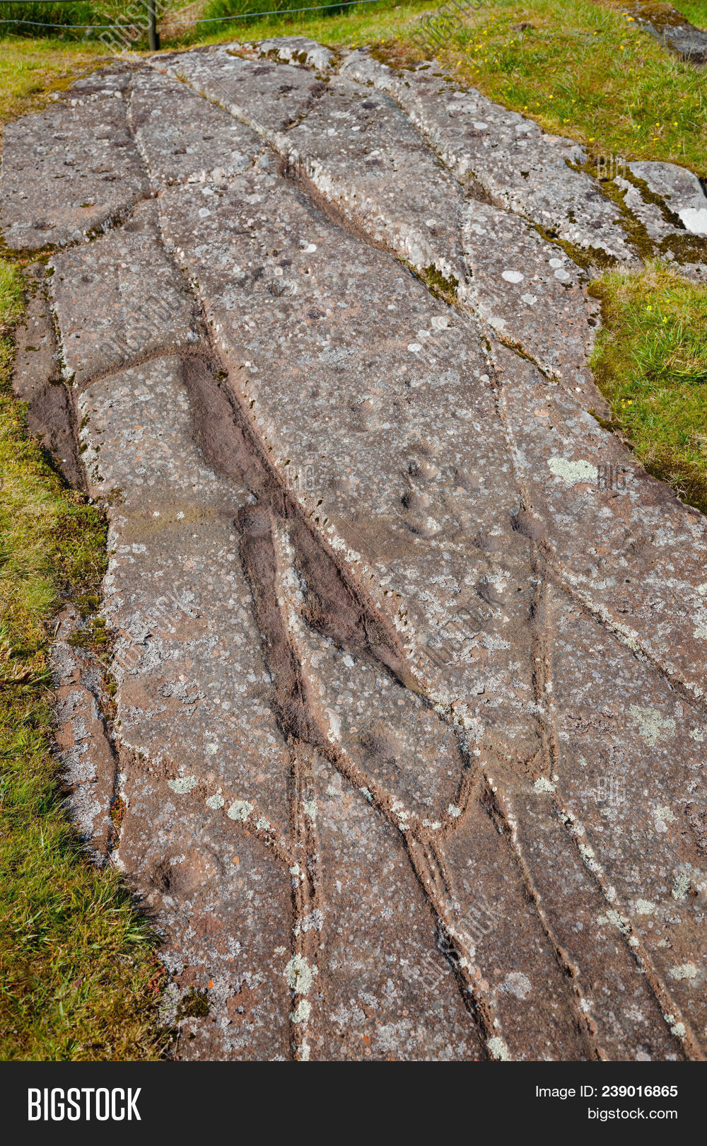 Cupmarked stone in DerrynablahaCupmarked stone · 1.0 mi
Explorer Tom There was a bargain made with this Derrynablaha stone back in the day, and I'm pretty sure we still owe them a favor.…
 Standing stone in DerrynablahaStanding stone · 1.1 mi
Explorer Tom This standing stone in Derrynablaha would survive a zombie attack by just standing still and looking intimidatingly…
 Stone row in Gortacloghane (dunkerron South By.)Stone row · 1.2 mi
Explorer Tom Stone row in Gortacloghane is plotting its retirement to a seaside bungalow next year. It’s been standing there since…
 Stone CircleKerb circle · 1.2 mi
Explorer Tom Stone Circle in Gortacloghane was built on a bargain that never paid off. The stones are still arguing about who broke…
 Standing stone in DerreenyStanding stone · 1.3 mi
Explorer Tom Standing stone in Derreeny is actually a dinosaur egg that never hatched because the mom got distracted by a berry…
 Fairy fort / earthen ringfort in TooreennafershaFairy fort / earthen ringfort · 1.4 mi
Explorer Tom Fairy fort / earthen ringfort in Tooreennafersha was once ruled by a goat who ate all the maps. Now nobody can find it…
 MullaghanattinMountain / peak · 1.4 mi
Explorer Tom Mullaghanattin lifts a pointed summit above Kerry's Ballaghbeama Gap, a mountain apparently determined to make a…
 Beann ne TopMountain / peak · 1.8 mi
Explorer Tom Beann NE Top is having a serious rivalry with Mullaghanattin right next door, screaming about whose view is superior…
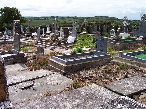 Incharue CemeteryCemetery · 3.5 mi
Explorer Tom Incharue Cemetery is incredibly proud of its single most impressive headstone, which I haven't seen yet but I'm sure…
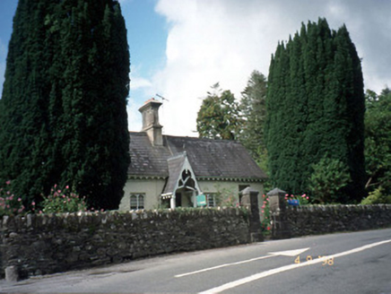 Blackwater CottageHouse · 5.3 mi
Explorer Tom Blackwater Cottage hosted the most dramatic event in history when a cat knocked over a vase. The decorative fascia and…
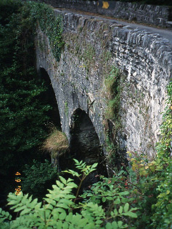 Blackwater BridgeBridge · 5.3 mi
Explorer Tom Blackwater Bridge would explain the 1800s to a teenager as just a really long queue for tea. The pedestrian refuge is…
More mountains and hills in County Kerry · All of County Kerry

What do you know about this place?Tap to add a comment or ask a question