
What is recorded here
This site is situated in reclaimed bogland on the floor of the Bridia valley, 75m S of the Caragh river. The location is encircled by high mountains, except where the valley opens to W. Ó Nualláin recorded a possible boulder-burial NE of the site (1988, 239), but the land here was deep-ploughed in 1989 and no trace of…
Read the whole record
From the National Monuments Service (Archaeological Survey of Ireland) record KE082-007001
Places near here
Photo credits
- Maker not stated on source page, commons.wikimedia.org
- Maker not stated on source page, www.flickr.com
- Espresso Addict, Geograph · CC BY-SA 2.0
- Maker not stated on source page, tr.pinterest.com
- Colin Park, Geograph · CC BY-SA 2.0
- Maker not stated on source page, uk.pinterest.com
- Maker not stated on source page, www.interment.net
- Maker not stated on source page, peakvisor.com
- Espresso Addict, Wikimedia Commons · CC BY-SA 2.0
- Colin Park, Wikimedia Commons · CC BY-SA 2.0
- PAUL FARMER, Geograph · Creative Commons Attribution-ShareAlike 2.0
 Fairy fort / earthen ringfort in MoyleglassFairy fort / earthen ringfort · 558 yd
Explorer Tom Moyleglass handles nosy neighbours by sinking slowly into the poorly drained valley floor until they give up looking.…
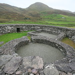 Enclosure in MoyleglassEnclosure · 1609 yd
Explorer Tom Enclosure in Moyleglass is so small it could fit inside your shoe, making the builder look like they were playing with…
 Ballaghbeama GapViewpoint · 1.7 mi
Explorer Tom Ballaghbeama Gap is currently arguing with a chipper vendor about whether extra gravy counts as a luxury tax on scenic…
 Standing stone in DerreenyStanding stone · 1.9 mi
Explorer Tom Standing stone in Derreeny has a long-standing grudge with the rain, which keeps trying to wash its paint off. It’s a…
 Stumpa Duloigh se TopMountain / peak · 2.0 mi
Explorer Tom Stumpa Duloigh se Top claims a local invented it just to confuse tourists who can’t read maps. He swears he drew it…
 Standing stone in DerrynablahaStanding stone · 2.0 mi
Explorer Tom This standing stone in Derrynablaha would survive a zombie attack by just standing still and looking intimidatingly…
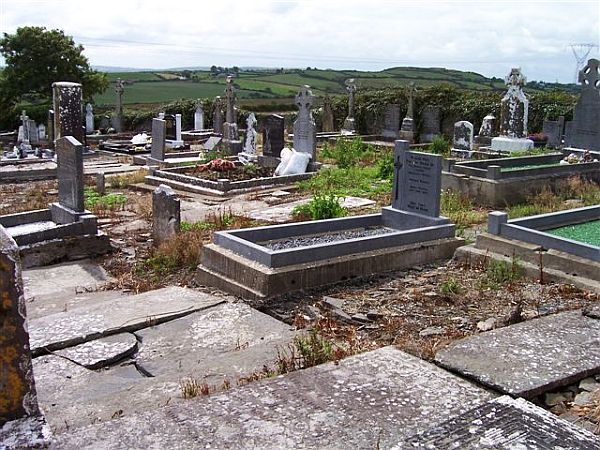 Incharue CemeteryCemetery · 2.1 mi
Explorer Tom Incharue Cemetery is incredibly proud of its single most impressive headstone, which I haven't seen yet but I'm sure…
 Stone circle in UnknownStone circle · 2.2 mi
Explorer Tom Stone circle in County Kerry was mentioned in a letter but nobody can actually find it, so the local sheep have formed…
 CurraghmoreMountain / peak · 2.2 mi
Explorer Tom Curraghmore is the lonely south-western shoulder of Kerry's MacGillycuddy's Reeks, rising above Lough Acoose with Caher…
 CaherMountain / peak · 2.7 mi
Explorer Tom Caher reaches a neat 1,000 metres, as if Kerry wanted a tidy number for Ireland's third-highest mountain. It stands…
 KnocklomenaMountain / peak · 3.4 mi
Explorer Tom Knocklomena is famous for having no paths, which means it’s basically a giant tussocky obstacle course for your ankles.…
 Blackstones BridgeBridge · 4.8 mi
Explorer Tom Blackstones Bridge would tell its younger self to stop worrying about the V-cutwaters and just flow. Four arches of…
More archaeology and monuments in County Kerry · All of County Kerry

What do you know about this place?Tap to add a comment or ask a question