What is recorded here
This stone, located on top of a hill on the lower E slopes of Knocknafreaghane, commands an impressive vista to N along the Ardsheelhane river valley. Of rectangular elevation, it stands 1.3m high and has an oval basal plan measuring 1.2m x .35m; NNE-SSW.
The above description is derived from A. O'Sullivan and J. Sheehan (compilers), 'The Iveragh peninsula: an archaeological survey of South Kerry'. Cork University Press (1996), no. 197. In certain instances the entries have been revised and updated in the light of recent research.
Date of upload: 28 July 2013
The monument record does not grant public access. Check the route and ask the landowner before entering private land.
- What survives
- Recorded monument
Places near here
 Indicated (1846).Hut site · 834 yd
 Field boundary in BoolananaveField boundary · 871 yd
 EskineMountain / peak · 1.5 mi
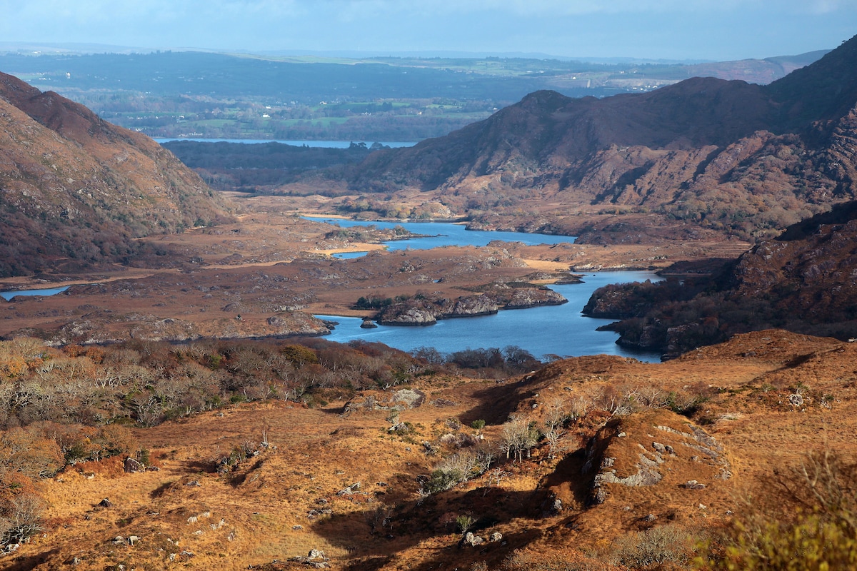 River HillMountain / peak · 2.2 mi
 Tahilla Catholic Chapelchurch/chapel · 3.1 mi
 Church of the Transfiguration (Kilcrohane)church/chapel · 3.2 mi
 Sneem Commemoration PlaqueMemorial · 3.2 mi
 De Gaulle MemorialMonument · 3.2 mi
 Rossmore IslandIsland · 3.7 mi
 Lackeen PointHeadland · 4.6 mi
 Rossdohan IslandIsland · 4.7 mi
 Ballaghbeama GapViewpoint · 5.2 mi