What is recorded here
Gallaun is a broad rectangular standing stone in County Kerry, Ireland, rising 1.75m less than 150m from the S shore of the Portmagee Channel. Its base spans .92m by .42m along a WNW-ESE line, presenting a solid vertical marker beside open water. People may have placed it there to judge distance, mark a boundary or direct attention across the channel. The sea still moves around that purpose, while the stone remains steady in the margin between land and water.
Located less than 150m from the S shore of the Portmagee Channel, this broad standing stone is roughly rectangular in elevation and stands 1.75m high. It has maximum dimensions of .92m x .42m at base; WNW-ESE.
The above description is derived from A. O'Sullivan and J. Sheehan (compilers), 'The Iveragh peninsula: an archaeological survey of South Kerry'. Cork University Press (1996), no. 186. In certain instances the entries have been revised and updated in the light of recent research.
Date of upload: 28 July 2013
The monument record does not grant public access. Check the route and ask the landowner before entering private land.
- What survives
- Recorded monument
Places near here
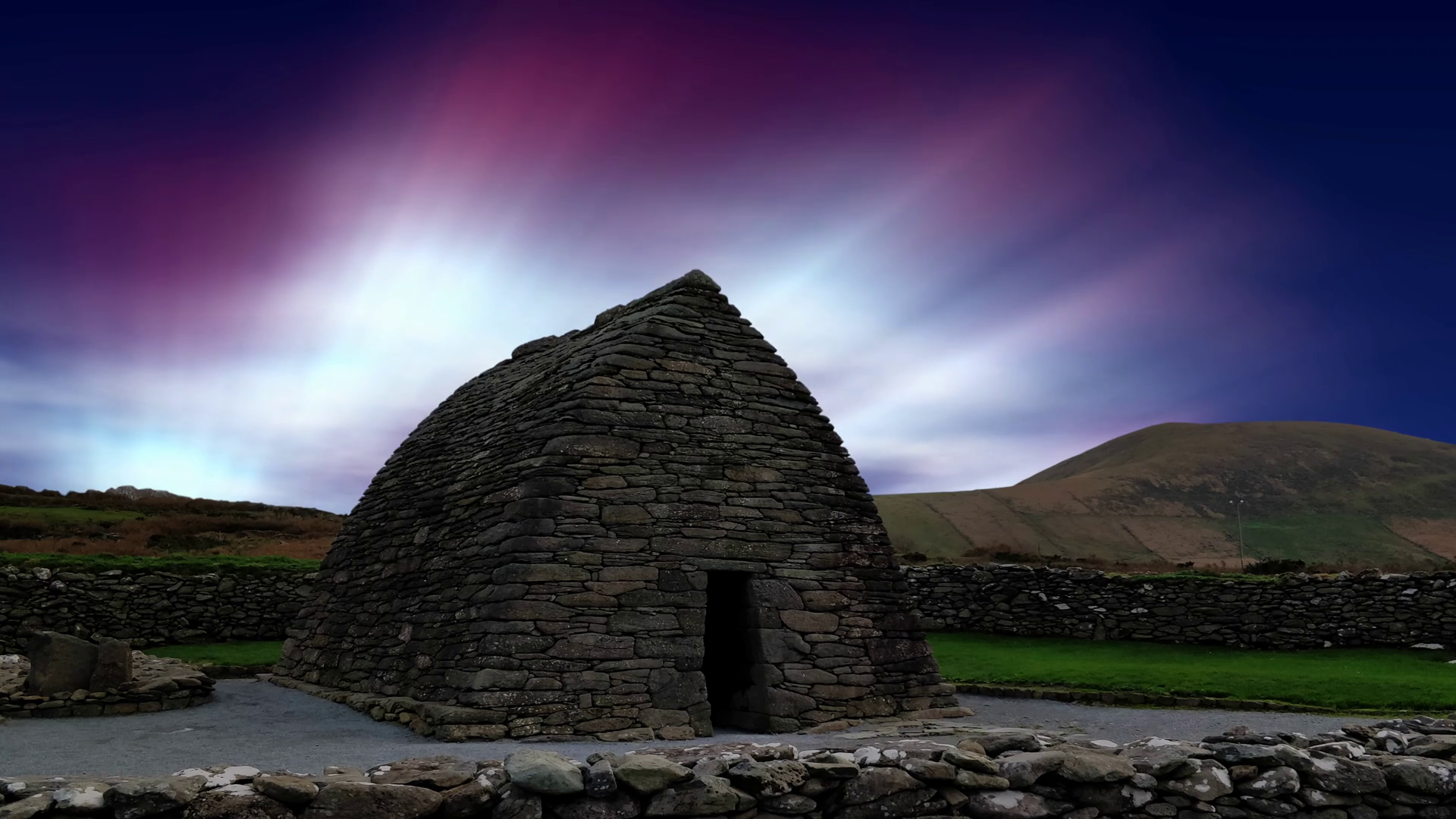 Oratory (in Ruins)Church · 484 yd
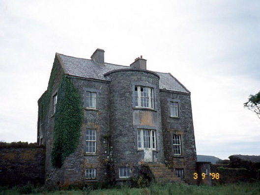 Belle Villefarm house · 695 yd
 Burnt spread in Coarha MoreBurnt spread · 1033 yd
 Man-made underground passage in LateeveMan-made underground passage · 1194 yd
 Skellig Experience CentreMuseum · 1.1 mi
 ValentiaIsland · 1.6 mi
 Telegraph Field Valentia IslandMemorial · 2.1 mi
 Beehive CellsHeritage attraction · 2.2 mi
 Cúm an EaspaigMountain / peak · 2.4 mi
 Tobairin Holy WellSpring · 2.4 mi
 Horse IslandIslet · 2.4 mi
 GeokaunMountain / peak · 2.5 mi