What is recorded here
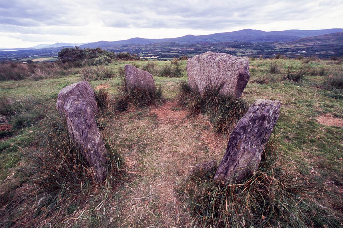
Marked only on 1842 OS 6-inch map as single standing stone. Removed; no visible surface trace.
The above description is derived from the published 'Archaeological Inventory of County Cork. Volume 3: Mid Cork' (Dublin: Stationery Office, 1997). In certain instances the entries have been revised and updated in the light of recent research.
Date of upload/revision: 14 January 2009
Likely dating to the Bronze Age, the stone may have served as a territorial marker or ceremonial monument. No specific folklore or detailed use is recorded for Gallaun, Gilcagh.
The monument record does not grant public access. Check the route and ask the landowner before entering private land.
- What survives
- Recorded monument
Places near here
 BarrowBarrow, ring-barrow · 509 yd
 Site of Grave YardBurial ground · 925 yd
 bridgebridge · 1240 yd
 St Joseph's Roman Catholic Churchchurch/chapel · 1243 yd
 Ballyvodane Castle (in Ruins)Castle, unclassified · 1.4 mi
 Ballyanly Inniscarra Slí na SláinteWalking route · 2.3 mi
 Garrycloyne Castle (in Ruins)Castle, tower house · 3.6 mi
 New TipperaryVisitor information · 3.8 mi
 Pakie HoganMemorial · 3.9 mi
 Bob AdamsMemorial · 3.9 mi
 BatsVisitor information · 4.3 mi
 Lion RockNamed rock · 4.4 mi