What is recorded here
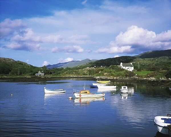
On a rockcrop overlooking Ballycrovane Harbour to the West. A tall rectangular stone (H 4.7m; 1.02m x 0.32m) narrowing towards the top. Now supported at the base with concrete; long axis NW-SE. The ogham inscription is on the NW edge read by Macalister (1945, 70, no. 66) and McManus (1997, 93) as MAQI-DECCEDDAS AVI TURANIAS. (Power et al. 1992, no. 1036)
This stone has been studied as part of the ‘Ogham in 3D’ project undertaken by the School of Celtic Studies, Dublin Institute for Advanced Studies. To access details go to the following website: http://ogham.celt.dias.ie/search.php?ciic=66
Compiled by: Nora White
Date of upload: 18 April 2016
This monument is subject to a preservation order made under the National Monuments Acts 1930 to 2014 (PO no. 172/1942).
The monument record does not grant public access. Check the route and ask the landowner before entering private land.
- What survives
- Recorded monument
Places near here
 coastguard stationcoastguard station · 277 yd
 Wild Atlantic WayVisitor information · 323 yd
 Enclosure in BallycrovaneEnclosure · 439 yd
 Penitential station in BallycrovanePenitential station · 583 yd
 Man-made underground passage in BofickilMan-made underground passage · 849 yd
 GortbrackMountain / peak · 1.3 mi
 Eyeries - Coastguard Station LoopWalking route · 1.4 mi
 CarrigleamoreIslet · 1.4 mi
 Eyeries IslandIslet · 1.5 mi
 Eyeries - Creha Quay LoopWalking route · 1.6 mi
 TrabaneBeach / strand · 1.8 mi
 Pallas StrandBeach / strand · 2.2 mi