What is recorded here
Gallaun (KE090-012002-): A tall and impressive standing stone is located close to the inner face of the bank at N. Orientated NNE-SSW, it stands 4.1m high and measures 1.2m x .4m at base. Roughly rectangular in elevation, it inclines slightly to W. The stone is locally reputed to have an ogham inscription (IFC Schools' Collection), but this is not apparent.
The above description is derived from A. O'Sullivan and J. Sheehan (compilers), 'The Iveragh peninsula: an archaeological survey of South Kerry'. Cork University Press (1996), no. 582. In certain instances the entries have been revised and updated in the light of recent research.
Date of upload: 29 July 2013
Likely dating to the Bronze Age, Gallaun – Dromtine may have functioned as a territorial marker or ceremonial monument. Its alignment and prominent position suggest it could have had astronomical or ritual significance, though specific folklore or use remains unrecorded.
The monument record does not grant public access. Check the route and ask the landowner before entering private land.
- What survives
- Recorded monument
Places near here
 Field boundary in DromtineField boundary · 29 yd
 RoadRoad, road/trackway · 33 yd
 SheepfoldsEnclosure · 1283 yd
 Cnoc BreasailMountain / peak · 1.5 mi
 Slievenashaska South TopMountain / peak · 1.6 mi
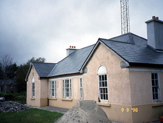 Sneem Garda Síochána Stationgarda station/constabulary barracks · 2.6 mi
 De Gaulle MemorialMonument · 2.6 mi
 Sneem Commemoration PlaqueMemorial · 2.7 mi
 GarinishIslet · 4.7 mi
 Coral BeachBeach / strand · 4.9 mi
 2Cliff · 5.2 mi
 Rossdohan IslandIsland · 5.5 mi