What is recorded here
No visible castle exists at Dromtine, only a forgotten chamber where the boundary between worlds becomes paper thin. The chamber has no walls, doors or fixtures because it is a living chamber, not a dead one. It answers the caller, not the camera. This is the place where the chamber becomes visible.
Internal diam. c. 20m
This circular caher is located on top of a low eminence on the W side of the bog-covered Sneem river valley. Dromtine Lough lies about 500m to S. The sod-covered enclosing element, 3m wide, is composed of earth and stone. The stone occurs in irregular courses and there are occasional uprights along the base of the wall, both internally and externally. Some large boulders also occur in the wall's composition. Internally it has an average height of .75m, and externally it falls .8m to the base of a 2.25m wide fosse. The fosse survives best along the N and W sectors, where it averages .6m deep below external ground level. An entrance through the enclosing wall is located at E; this measures 1.9m long and is flanked on its S side by two slabs set on edge, averaging .4m high and .7m wide. One small slab marks the outer end of its N side.
Gallaun (KE090-012002-): A tall and impressive standing stone is located close to the inner face of the bank at N. Orientated NNE-SSW, it stands 4.1m high and measures 1.2m x .4m at base. Roughly rectangular in elevation, it inclines slightly to W. The stone is locally reputed to have an ogham inscription (IFC Schools' Collection), but this is not apparent.
In the immediate vicinity of the caher is a network of early field boundaries (KE090-012005-). These are largely composed of boulders and slabs set on edge, and are covered by peat in places.
The above description is derived from A. O'Sullivan and J. Sheehan (compilers), 'The Iveragh peninsula: an archaeological survey of South Kerry'. Cork University Press (1996), no. 582. In certain instances the entries have been revised and updated in the light of recent research.
Date of upload: 29 July 2013
The monument record does not grant public access. Check the route and ask the landowner before entering private land.
- What survives
- Recorded monument
Places near here
 RoadRoad, road/trackway · 27 yd
 Field boundary in DromtineField boundary · 33 yd
 SheepfoldsEnclosure · 1288 yd
 Cnoc BreasailMountain / peak · 1.5 mi
 Slievenashaska South TopMountain / peak · 1.6 mi
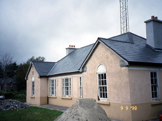 Sneem Garda Síochána Stationgarda station/constabulary barracks · 2.6 mi
 De Gaulle MemorialMonument · 2.6 mi
 Sneem Commemoration PlaqueMemorial · 2.7 mi
 GarinishIslet · 4.7 mi
 Coral BeachBeach / strand · 4.9 mi
 2Cliff · 5.2 mi
 Rossdohan IslandIsland · 5.5 mi