What is recorded here
Located in boggy pasture, about 350m S of KE091-011----, this site is marked ‘Gallaun’ on the second edition of the OS map. The landowner indicated that the stone had been removed in living memory.
The above description is derived from A. O'Sullivan and J. Sheehan (compilers), 'The Iveragh peninsula: an archaeological survey of South Kerry'. Cork University Press (1996), no. 237. In certain instances the entries have been revised and updated in the light of recent research.
Date of upload: 30 July 2013
The monument record does not grant public access. Check the route and ask the landowner before entering private land.
- What survives
- Recorded monument
Places near here
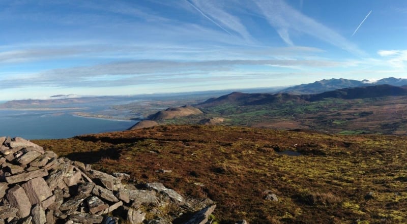 Faher MountainMountain / peak · 1.0 mi
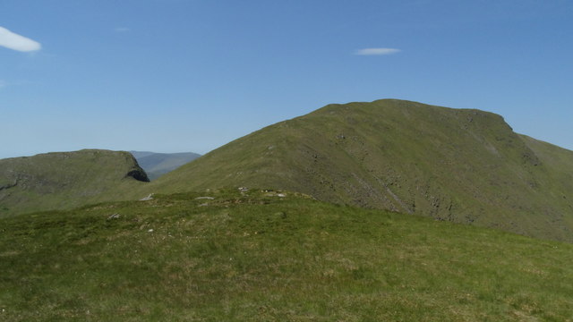 Beann South TopMountain / peak · 1.1 mi
 Hut site in Gortacloghane (dunkerron South By.)Hut site · 1.3 mi
 Enclosure in CoomyannaEnclosure · 1.4 mi
 Ballaghbeama GapViewpoint · 2.7 mi
 RoadRoad, road/trackway · 5.0 mi
 Blackwater Cottagehouse · 5.1 mi
 Lackeen PointHeadland · 5.5 mi
 De Gaulle MemorialMonument · 5.5 mi
 Sneem Commemoration PlaqueMemorial · 5.5 mi
 Rossmore IslandIsland · 5.8 mi
 Dromore CastleCastle · 5.9 mi