What is recorded here
Not marked on 1842 and 1904 OS 6-inch maps. In pasture, on gentle NE-facing slope. Stone (L 2.7m; 1m x c. 0.4m) is prostrate and almost covered by heavy overgrowth. In same position when recorded by Bowman (1934, 329), who noted number of grooved lines on one side; not now visible, probably due to overgrowth.
The above description is derived from the published 'Archaeological Inventory of County Cork. Volume 4: North Cork' (Dublin: Stationery Office, 2000). In certain instances the entries have been revised and updated in the light of recent research.
Date of upload/revision: 14 January 2009
The monument record does not grant public access. Check the route and ask the landowner before entering private land.
- What survives
- Recorded monument
Places near here
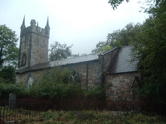 church/chapelchurch/chapel · 726 yd
 IndicatedGraveyard · 732 yd
 Mine in DucleaghMine · 761 yd
:quality(70):focal(1512x1495:1522x1505)/cloudfront-eu-central-1.images.arcpublishing.com/irishtimes/CMGGAJM3BFJ2NMCI4YEPWIOTKI.jpg) Grave YardGraveyard · 837 yd
Grave YardGraveyard · 837 yd Castle (Site of)Bawn · 1132 yd
 Battle of Knocknaclashybattle · 1.0 mi
 Drominagh Castle (Site of)Castle, unclassified · 2.3 mi
 Rathcool WoodWood · 2.3 mi
 Kanturk CastleHeritage attraction · 4.0 mi
 St Fursey's WellSpring · 4.3 mi
 Mount Hillary - Father Murphy LoopWalking route · 4.6 mi
 Hanna SheehyMemorial · 4.7 mi