What is recorded here
In quarry, on isolated island c. 4-5m above present ground level of quarry. Stone (H 1.58m; 1.33m x 0.28m) is subrectangular in plan, leaning heavily to S; long axis NE-SW. Quarrying to edge of stone on SW side has exposed its base in section face 0.95m below ground level.
The above description is derived from the published 'Archaeological Inventory of County Cork. Volume 3: Mid Cork' (Dublin: Stationery Office, 1997). In certain instances the entries have been revised and updated in the light of recent research.
Date of upload/revision: 14 January 2009
Likely dating to the Neolithic or Early Bronze Age, this standing stone may have had ritual or territorial significance. Its placement above the quarry and orientation suggest possible alignment with celestial events or local topography, though specific folklore or use remains unrecorded.
The monument record does not grant public access. Check the route and ask the landowner before entering private land.
- What survives
- Recorded monument
Places near here
 Rock GroveCountry house · 354 yd
 Mass-rock in AghavrinMass-rock · 581 yd
 Aghavrin CastleDesigned landscape, belvedere · 660 yd
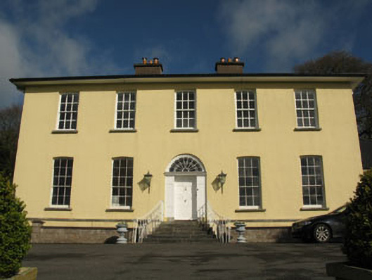 Aghavrin Househouse · 937 yd
 Mullinhassig WoodWood · 1293 yd
 Mullinhassig WaterfallWaterfall · 1446 yd
 Quarry WoodWood · 1.4 mi
 Carrigadrohid Castle InfoVisitor information · 2.0 mi
 Carrigadrohid CastleHeritage attraction · 2.0 mi
 Carrigadrohid Castle (in Ruins)Castle, tower house · 2.0 mi
 Sunday's WellSpring · 2.6 mi
 Old Mansion HoCastle, Anglo-Norman masonry castle · 2.9 mi