
What is recorded here
On top of a prominent rock outcrop; named 'Tower' on Carrigaknubber Rock on 1842 OS 6-inch map; mass rock (CO072-149----) at base. Ruined square 3-storey tower (2m x 2m); rectangular window opes with hood mouldings; embattled parapet. Slim circular stairway-like projection on SE corner rises higher than tower with embattled parapet; slit windows. Access not gained. Built by Captain Cooke of Aghavrin House (CO061-085----) in c. 1840s; generally known as Admiral's Folly (Hartnett 1939, 38).
The above description is derived from the published 'Archaeological Inventory of County Cork. Volume 3: Mid Cork' (Dublin: Stationery Office, 1997). In certain instances the entries have been revised and updated in the light of recent research.
Date of upload/revision: 14 January 2009
The monument record does not grant public access. Check the route and ask the landowner before entering private land.
- What survives
- Recorded monument
Places near here
 Mass-rock in AghavrinMass-rock · 96 yd
 Rock GroveCountry house · 458 yd
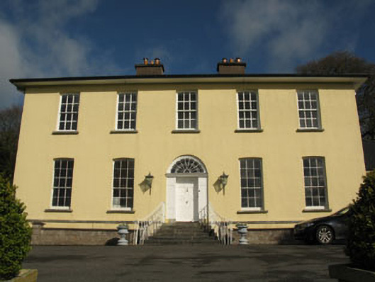 Aghavrin Househouse · 468 yd
 Fulacht fia in CoolaculligFulacht fia · 1107 yd
 Mullinhassig WoodWood · 1585 yd
 Mullinhassig WaterfallWaterfall · 1729 yd
 Quarry WoodWood · 1.7 mi
 Carrigadrohid Castle InfoVisitor information · 2.4 mi
 Carrigadrohid CastleHeritage attraction · 2.4 mi
 Carrigadrohid Castle (in Ruins)Castle, tower house · 2.4 mi
 Carrignamuck Tower HouseCastle · 2.5 mi
 Sunday's WellSpring · 2.7 mi
Other information
Photo: Credit not shown in the picture search · Rights wording not checked; contact us if this picture should be removed