What is recorded here
Not shown on 1842 and 1904 OS 6-inch maps. Marked on 1943 OS 6-inch map as single standing stone. In pasture. Removed; no visible surface trace.
The above description is derived from the published 'Archaeological Inventory of County Cork. Volume 3: Mid Cork' (Dublin: Stationery Office, 1997). In certain instances the entries have been revised and updated in the light of recent research.
Date of upload/revision: 14 January 2009
Likely dating to the Bronze Age, the stone may have had ritual or territorial significance. Its removal and lack of surface trace make its original use or folklore difficult to determine.
The monument record does not grant public access. Check the route and ask the landowner before entering private land.
- What survives
- Recorded monument
Places near here
 Michael Collins Monumentmonument · 621 yd
 Michael Collins MemorialMemorial · 622 yd
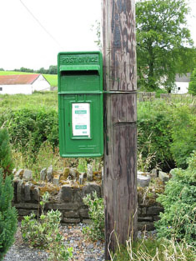 post boxpost box · 961 yd
 Nialls GraveWedge tomb · 1.0 mi
 Man-made underground passage in CloghmacowMan-made underground passage · 1.7 mi
 Clodah CastleCastle · 1.9 mi
 Independence MuseumMuseum · 2.0 mi
 Green HillMountain / peak · 2.1 mi
 Kilmurry WoodsPicnic place · 2.2 mi
 Towers (in Ruins)House, fortified house · 2.2 mi
 Priest MemorialMemorial · 2.4 mi
 Andrew's WoodWood · 2.9 mi