
Places near here
Photo credits
- Colin Park, Geograph · Creative Commons Attribution-ShareAlike 2.0
- Ceoil at English Wikipedia, Wikimedia Commons · CC BY-SA 3.0
- National Inventory of Architectural Heritage
- Adrian King, Geograph · CC BY-SA 2.0
- Maker not stated on source page, www.gpsmycity.com
Explorer Tom Blackwater (Duhallow) Way in County Cork is basically a very smug path that thinks it knows your business before you’ve…
GallánStanding stone · 746 ydExplorer Tom Gallán in Brookpark is the stone that flaked out before the party even started. It was marked on maps for decades, then…
 Holy Well1636 yd
Explorer Tom Holy Well in Mushera is dressed in concrete and looking very modern, thanks to 1982. St John is up there taking…
Standing Stone ? At J WellMemorial · 1.2 miExplorer Tom Standing Stone ? At J Well: Legend says a giant dropped this stone because he lost a bet about whose wife was better at…
MusherabegMountain / peak · 2.3 miExplorer Tom Musherabeg would tell its younger self to stop trying so hard and just enjoy the rain. It’s basically a grumpy elder…
 KnocknakillaArchaeological place · 2.6 mi
Explorer Tom Knocknakilla sits high on the north-west slope of Musherabeg Mountain, where a five-stone circle, standing stones and a…
BallyvouskillMountain / peak · 4.6 miExplorer Tom Ballyvouskill is playing hide-and-seek with me in County Cork. I reckon 'Bally' means belly and 'vouskill' is just a…
 house8.8 mi
Explorer Tom House in Mullaghroe South is where a Viking got lost and decided to build his own house instead of finding the beach.…
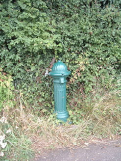 water pump8.8 mi
Explorer Tom Water pump in Mullaghroe North has been standing there since the 1880s, looking very Victorian about it. It’s a…
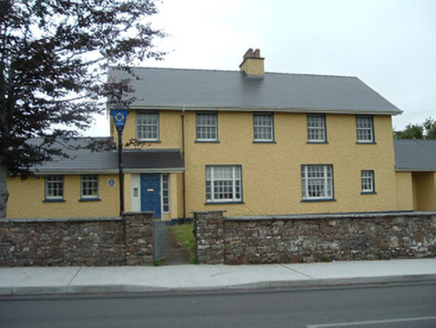 Knocknagree Garda StationGarda station/constabulary barracks · 11 mi
Explorer Tom 17. Knocknagree Garda Station looks like a fancy country house because it was built in the Domestic Revival style…
 Knocknagree Roman Catholic ChurchChurch/chapel · 12 mi
Explorer Tom Knocknagree Roman Catholic Church is having a quiet rivalry with every other church in town. It’s got Gothic lancets…
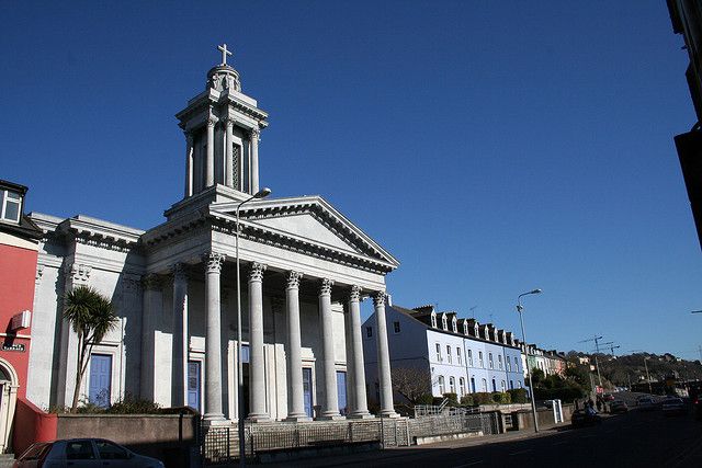 Catholic ChurchChurch · 12 mi
Explorer Tom Catholic Church in Farrankeal sits right next to the fair green, so it's probably seen some wild characters over the…
More archaeology and monuments in County Cork · All of County Cork

What do you know about this place?Tap to add a comment or ask a question