What is recorded here
In pasture, on a level area, to the N of the Killarney-Killorglin road. The stone (dims. 2.2m x 1.1m; H 2.75m) is irregular in plan and roughly triangular in shape and orientated N-S. The 'six small marks on the SW side of the stone' which were recorded by Capt. D. B. O'Connell in the 1930s and which he thought 'may be oghamic' (SMR file) were not noted during the inspection.
Compiled by: Elizabeth Byrne, Ursula Egan and Sheila Ronan, Archaeological Survey Unit, University College, Cork.
Date of upload: 31 January 2011
The monument record does not grant public access. Check the route and ask the landowner before entering private land.
- What survives
- Recorded monument
Places near here
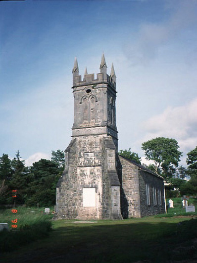 Aghadoe Churchchurch/chapel · 666 yd
 Aghadoe Housegate lodge · 720 yd
 Parkavonear CastleCastle · 1005 yd
 Aghadoe Early Medieval Ecclesiastical SiteHeritage attraction · 1067 yd
 Round TowerRound tower · 1100 yd
 Enclosure in ParkavonearEnclosure · 1211 yd
 Lamb IslandIsland · 1.4 mi
 Rabbit or Brown IslandIslet · 1.5 mi
 Circular WalkWalking route · 1.7 mi
 European YewEuropean Yew · 1.7 mi
 English hollyEnglish holly · 1.8 mi
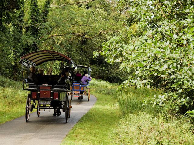 Ross Castle RingwayWalking route · 1.9 mi