What is recorded here
Gallán was a single standing stone on an east-facing pasture slope in County Cork, marked on the 1937 map but absent from earlier surveys. It has been removed without visible trace, denying anyone the chance to touch its edges or wonder whether it measured growth, marked a boundary or simply watched the sun rise. What remains is a vacant slope where human attention once gathered, proving that even forgotten stones shape the lives of those who seek them.
Not shown on 1842 and 1904 OS 6-inch maps. Marked on 1937 OS 6-inch map as single standing stone. In pasture, on E-facing slope. Removed; no visible surface trace.
The above description is derived from the published 'Archaeological Inventory of County Cork. Volume 3: Mid Cork' (Dublin: Stationery Office, 1997). In certain instances the entries have been revised and updated in the light of recent research.
Date of upload/revision: 14 January 2009
Likely dating to the Bronze Age, the stone may have had ritual or territorial significance. Local folklore sometimes associates such stones with early Christian figures or protective landmarks.
The monument record does not grant public access. Check the route and ask the landowner before entering private land.
- What survives
- Recorded monument
Places near here
 Pairc Ath Na hEornaMemorial · 714 yd
 Fulacht fia in NewcastleFulacht fia · 952 yd
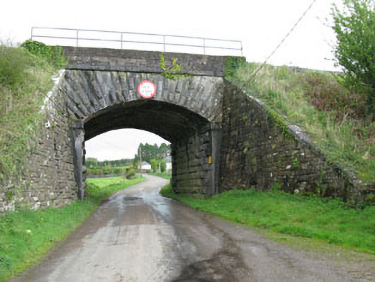 bridgebridge · 984 yd
 Castle (Site of)Castle, unclassified · 1334 yd
 Garrycloyne Castle (in Ruins)Castle, tower house · 1686 yd
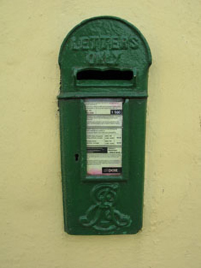 post boxpost box · 1714 yd
 Pakie HoganMemorial · 1.2 mi
 Burial ground in Ballyfadeen MoreBurial ground · 1.2 mi
 BatsVisitor information · 2.7 mi
 Waterloo Loop WalkWalking route · 2.9 mi
 River Martin Mill & WeirVisitor information · 2.9 mi
 Ring WoodWood · 3.7 mi