What is recorded here
Gallán is a standing stone in County Cork, Ireland. It rises 1.44 metres above a low knoll in open pasture, its irregular base still holding the smaller packing stones that helped set it upright. The stone aligns northeast to southwest, pointing across the land like a quiet hand. It was not drawn on the 1842 survey map, yet it remains visible in the field, witness to every storm and season since people first stood beside it.
Not shown on 1842 OS 6-inch map. In pasture, atop low knoll. Stone (H 1.44m; 0.63m x 0.27m) is irregular in plan, with packing stones exposed at base; long axis NE-SW.
The above description is derived from the published 'Archaeological Inventory of County Cork. Volume 3: Mid Cork' (Dublin: Stationery Office, 1997). In certain instances the entries have been revised and updated in the light of recent research.
Date of upload/revision: 14 January 2009
The monument record does not grant public access. Check the route and ask the landowner before entering private land.
- What survives
- Recorded monument
Places near here
 Bealahacreagh Bridgebridge · 802 yd
 IndicatedKiln, lime · 908 yd
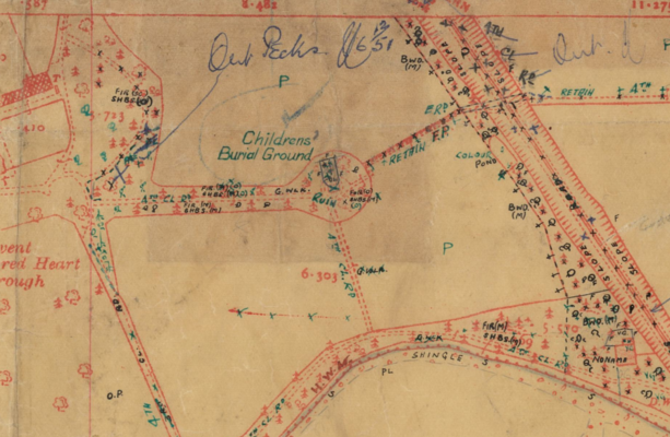 Childrens Burial Ground (Disused)Burial ground · 1108 yd
 LissacresigFairy fort / earthen ringfort · 1141 yd
 Carrigaphooca CastleCastle · 1.6 mi
 Curraheen WoodWood · 2.3 mi
 Dundareirke Castle (in Ruins)Castle, tower house · 2.7 mi
 Neill's WoodWood · 2.8 mi
 Cnoc na nUlán (mullach thoir)Mountain / peak · 3.7 mi
 Macroom WalksVisitor information · 3.8 mi
 Battle of Macroombattle · 4.1 mi
 Clonavrick CliffCliff · 4.3 mi