What is recorded here
In pasture, on SW-facing slope, overlooking Sullane River valley to S. Roughly circular area (48.5m E-W; 44.2m N-S) defined by earthen bank (int. H 2.55m); fosse (D 3.1m); counterscarp or remains of second bank (H 0.2m) SSE->W; laneway skirts enclosure NNW->NE, separated from fosse by stone-faced earthen bank. Inner bank height as low as 0.2m internally to SW where interior raised to compensate for hillslope. Entrance (Wth 2.5m) with causeway to E, blocked by collapsed stone wall; gap (Wth 1m) in bank to NW. Remains of cultivation ridges cross interior on N-S axis; two low cairns of field clearance stones in E half; hone stone (c. 0.4m x c. 0.2m x c. 0.15m) lies off-centre to E. Standing stone (CO070-014----) visible in field to N of enclosure.
The above description is derived from the published 'Archaeological Inventory of County Cork. Volume 3: Mid Cork' (Dublin: Stationery Office, 1997). In certain instances the entries have been revised and updated in the light of recent research.
Date of upload/revision: 14 January 2009
Lissacresig is a well-preserved early-medieval ringfort, likely dating to between the 5th and 10th centuries, characterized by a substantial earthen bank and deep fosse. Local folklore, though sparse, may associate such sites with fairy realms or ancient druidic activity, common in Irish tradition.
The monument record does not grant public access. Check the route and ask the landowner before entering private land.
- What survives
- Recorded monument
Places near here
 IndicatedKiln, lime · 318 yd
 Lissacresig Stone CircleArchaeological place · 493 yd
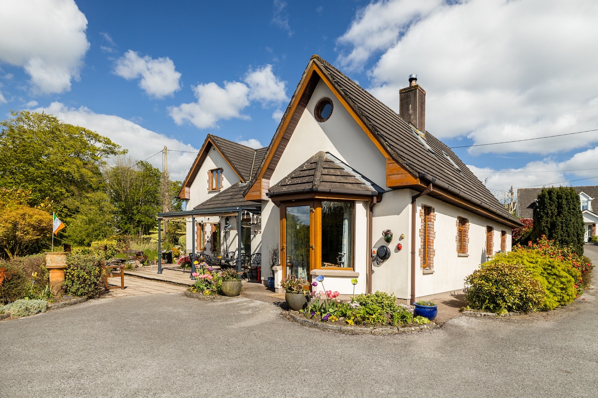 CaheratruceFairy fort / stone ringfort · 1114 yd
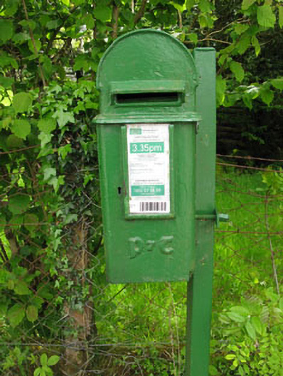 post boxpost box · 1221 yd
 Carrigaphooca CastleCastle · 1.6 mi
 Curraheen WoodWood · 2.3 mi
 Dundareirke Castle (in Ruins)Castle, tower house · 2.7 mi
 Neill's WoodWood · 3.4 mi
 Cnoc na nUlán (mullach thoir)Mountain / peak · 3.6 mi
 Macroom WalksVisitor information · 4.1 mi
 KnockullaneMountain / peak · 4.2 mi
 Battle of Macroombattle · 4.4 mi
Other information
Photo: Credit not shown in the picture search · Rights wording not checked; contact us if this picture should be removed