What is recorded here
Depicted as standing stone on 1937 OS 6-inch map. Stone removed; area under pasture. (Walsh 1985, 98, no. 7)
The above description is derived from the published 'Archaeological Inventory of County Cork. Volume 2: East and South Cork' (Dublin: Stationery Office, 1994). In certain instances the entries have been revised and updated in the light of recent research.
Date of revision: 23 November 2009
Likely dating to the Bronze Age, the stone may have had ritual or territorial significance. Its removal and lack of surviving carvings make its original use or folklore unclear.
The monument record does not grant public access. Check the route and ask the landowner before entering private land.
- What survives
- Recorded monument
Places near here
 Fulacht fia in Dromgarriff NorthFulacht fia · 1463 yd
 IndicatedFairy fort / earthen ringfort · 1738 yd
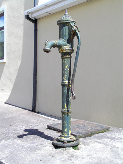 water pumpwater pump · 1.0 mi
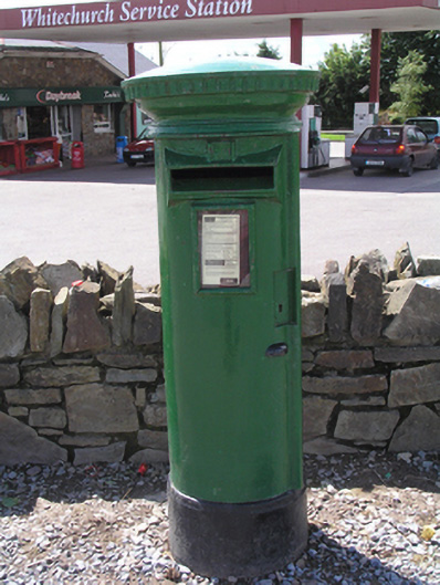 post boxpost box · 1.0 mi
 Graveyard in KilmonaGraveyard · 1.4 mi
 Pakie HoganMemorial · 2.0 mi
 Garrycloyne Castle (in Ruins)Castle, tower house · 2.2 mi
 Castle (in Ruins)Castle, tower house · 2.8 mi
 BatsVisitor information · 2.9 mi
 Waterloo Loop WalkWalking route · 3.0 mi
 River Martin Mill & WeirVisitor information · 3.0 mi
 Ring WoodWood · 3.5 mi