What is recorded here
Gallan is a 1.3m standing stone in Mid Cork, not shown on 1842 or 1904 maps. It stands in pasture on a west-facing slope, its base worn smooth and long axis pointing east to west. The absence from official records does not diminish the stone; it may have belonged to neighbourhood memory rather than surveyor imagination.
Not shown on 1842 and 1904 OS 6-inch maps. In pasture, on W-facing slope. Stone (H 1.3m; 0.9m x 0.6m) is subrectangular in plan, worn at base; long axis E-W.
The above description is derived from the published 'Archaeological Inventory of County Cork. Volume 3: Mid Cork' (Dublin: Stationery Office, 1997). In certain instances the entries have been revised and updated in the light of recent research.
Date of upload/revision: 14 January 2009
The monument record does not grant public access. Check the route and ask the landowner before entering private land.
- What survives
- Recorded monument
Places near here
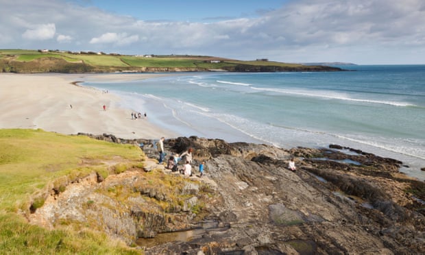 Mound in Kilquane (barretts By.)Mound · 1.1 mi
 Grave Yard (Disused)Graveyard · 1.1 mi
 Lyradane MountainMountain / peak · 1.5 mi
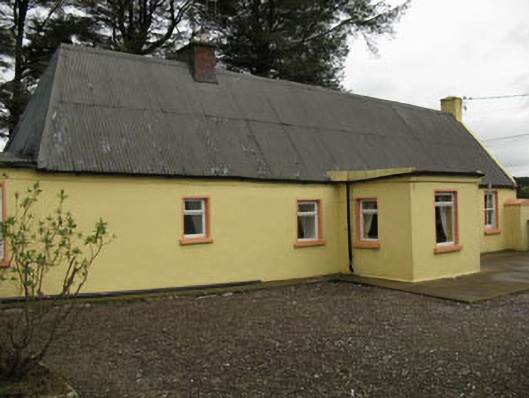 farm housefarm house · 1.8 mi
 Rock HillMountain / peak · 2.2 mi
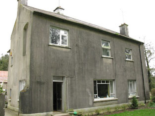 Davis Castlehouse · 2.7 mi
 Castle (Site of)Castle, Anglo-Norman masonry castle · 2.7 mi
 New TipperaryVisitor information · 3.5 mi
 Castle Barrett (in Ruins)Castle, Anglo-Norman masonry castle · 3.7 mi
 Knockduff Wind FarmVisitor information · 4.9 mi
 Pairc Ath Na hEornaMemorial · 5.1 mi
 Graveyard in KilmonaGraveyard · 5.6 mi