What is recorded here
At the W side of a field boundary which divides two football pitches. The stone (dims. 1.63m x 0.67m; H 1.97m) is rectangular in shape and ovoid in plan and orientated E-W. A field boundary is built against the N, S and E faces of the stone. The stone is of sandstone and partially covered with ivy.
Compiled by: Elizabeth Byrne, Ursula Egan and Sheila Ronan, Archaeological Survey Unit, University College, Cork.
Date of upload: 31 January 2011
The monument record does not grant public access. Check the route and ask the landowner before entering private land.
- What survives
- Recorded monument
Places near here
 Coolcorcoran BridgeBridge · 261 yd
 Enclosure in BallydribbeenEnclosure · 476 yd
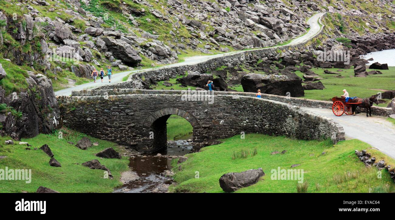 Deenagh BridgeBridge · 656 yd
 Field boundary in Deerpark (magunihy By.)Field boundary · 879 yd
 Famine MemorialMemorial · 950 yd
 GinkgoGinkgo · 1262 yd
 Kerry 2nd Brigade of the Irish Republican ArmyMemorial · 1409 yd
 Giant SequoiaGiant Sequoia · 1.0 mi
 Jaunting ToursHeritage attraction · 1.1 mi
 Circular WalkWalking route · 1.2 mi
 River WalkWalking route · 1.7 mi
 Aghadoe Early Medieval Ecclesiastical SiteHeritage attraction · 1.9 mi