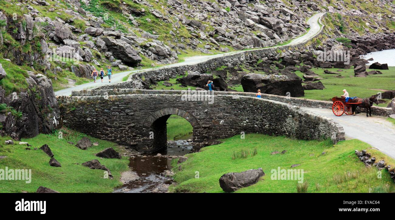
What is recorded here
A NW-SE road bridge spanning the Deenagh River. Built of random rubble. Four arches, the two closest to the NW bank of the river are almost semicircular (span c. 3m) with roughly shaped voussoirs while the other two are segmental (span c. 5.3m) with shaped rusticated voussoirs. The north-westernmost arch is dry. Three low pointed cutwaters on the upstream side of the piers (Wth 1.15m). The bridge has recently been extended on the downstream side and the arches and the river-bed have been reinforced using concrete; some stone paving is still visible on the river-bed.
Compiled by: Elizabeth Byrne, Ursula Egan and Sheila Ronan, Archaeological Survey Unit, University College, Cork.
Date of upload: 31 January 2011
The monument record does not grant public access. Check the route and ask the landowner before entering private land.
- What survives
- Recorded monument
Places near here
 Enclosure in BallydribbeenEnclosure · 302 yd
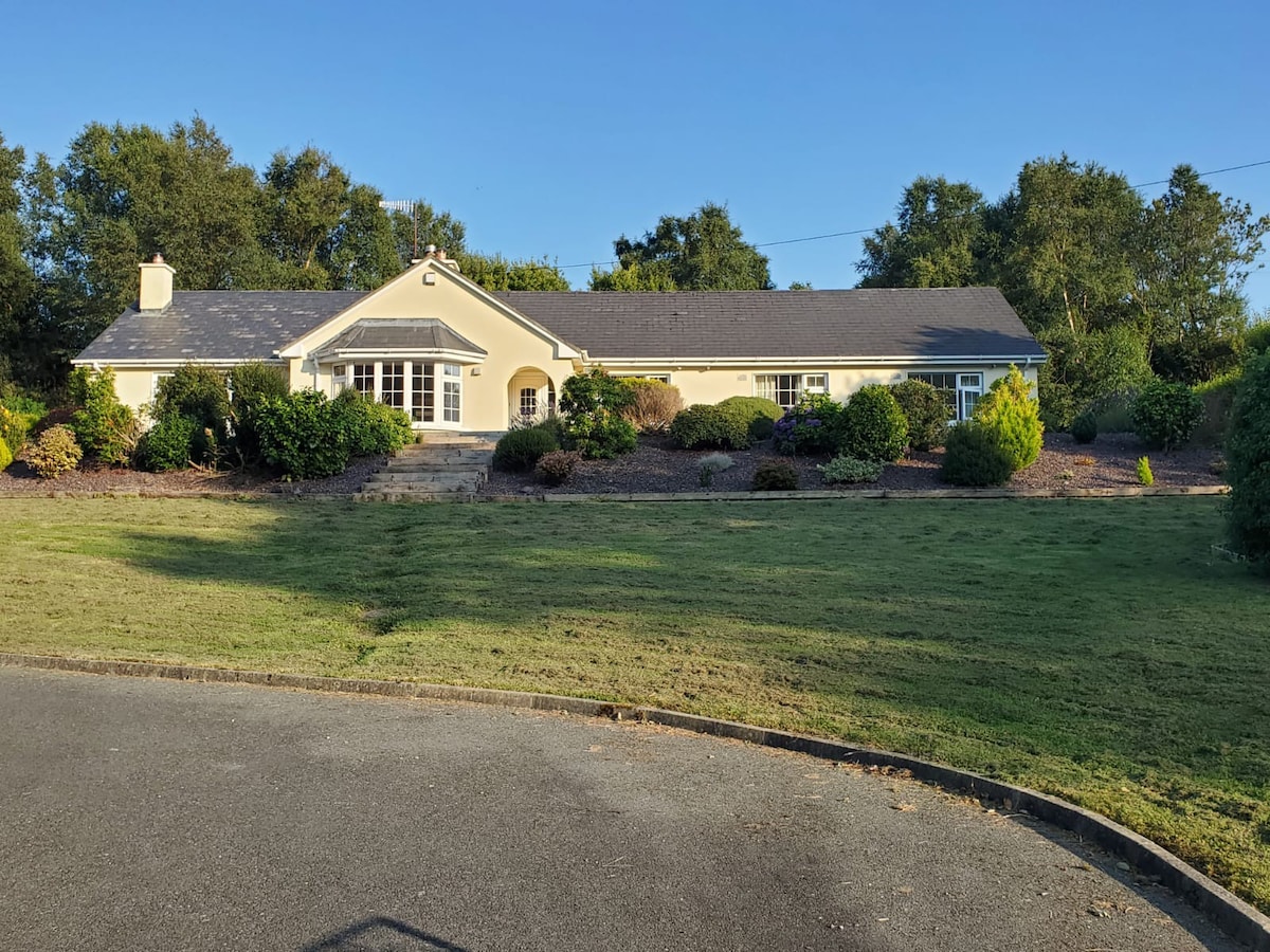 County HomeWorkhouse · 388 yd
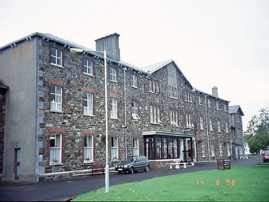 Saint Columbanus's Community Hospitalhospital/infirmary · 401 yd
 Famine MemorialMemorial · 479 yd
 Ballydowney BridgeBridge · 540 yd
 GinkgoGinkgo · 894 yd
 Kerry 2nd Brigade of the Irish Republican ArmyMemorial · 1110 yd
 Giant SequoiaGiant Sequoia · 1284 yd
 Circular WalkWalking route · 1451 yd
 Jaunting ToursHeritage attraction · 1703 yd
 River WalkWalking route · 1.3 mi
 Aghadoe Early Medieval Ecclesiastical SiteHeritage attraction · 1.6 mi
Other information
Photo: Credit not shown in the picture search · Rights wording not checked; contact us if this picture should be removed