
What is recorded here
In a field recently cut for silage, on a level area towards the top of a NNE-facing slope. This enclosure is not visible at ground level. The cropmark of the fosse of a circular enclosure (diam. not possible to estimate) is clearly visible in an aerial photograph (OSAP, 3681) taken in 1983. Two archaeological test trenches excavated in June 2000, in advance of a housing development, revealed no trace of this enclosure (Kelleher 2002, 139).
Compiled by: Elizabeth Byrne, Ursula Egan and Sheila Ronan, Archaeological Survey Unit, University College, Cork.
Date of upload: 31 January 2011
A local fairy fort (ringfort/rath); wider significance not recorded.
The monument record does not grant public access. Check the route and ask the landowner before entering private land.
- What survives
- Recorded monument
Places near here
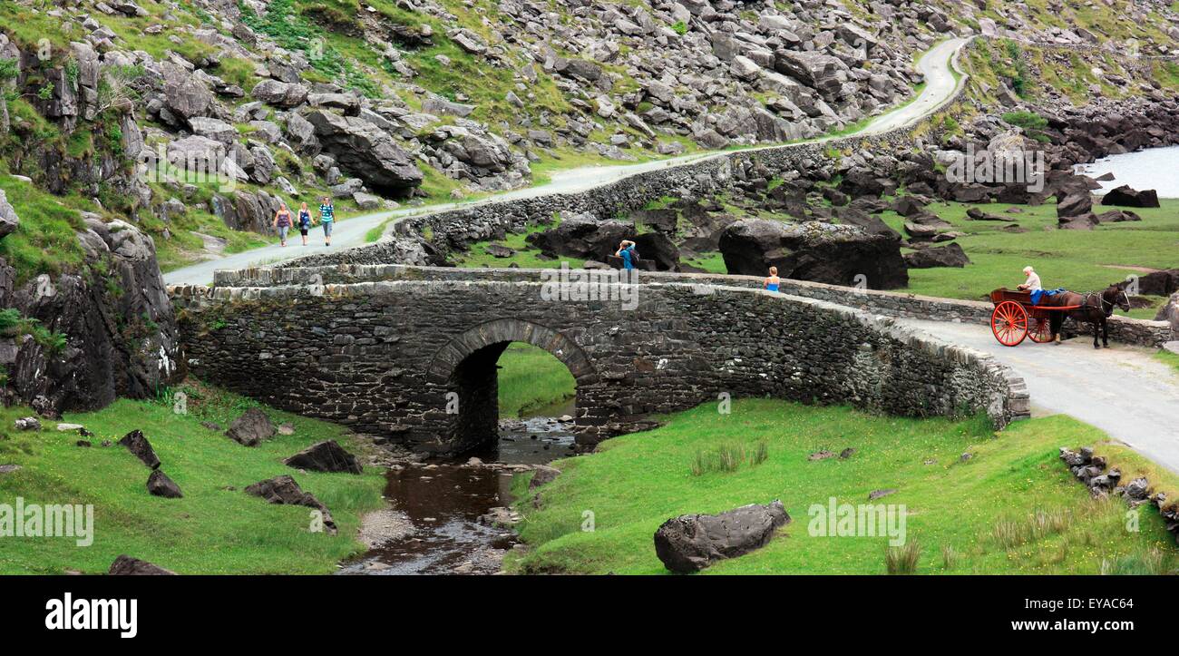 Deenagh BridgeBridge · 302 yd
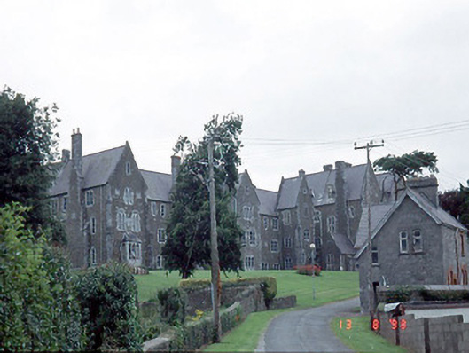 Saint Finan's Hospitalhospital/infirmary · 401 yd
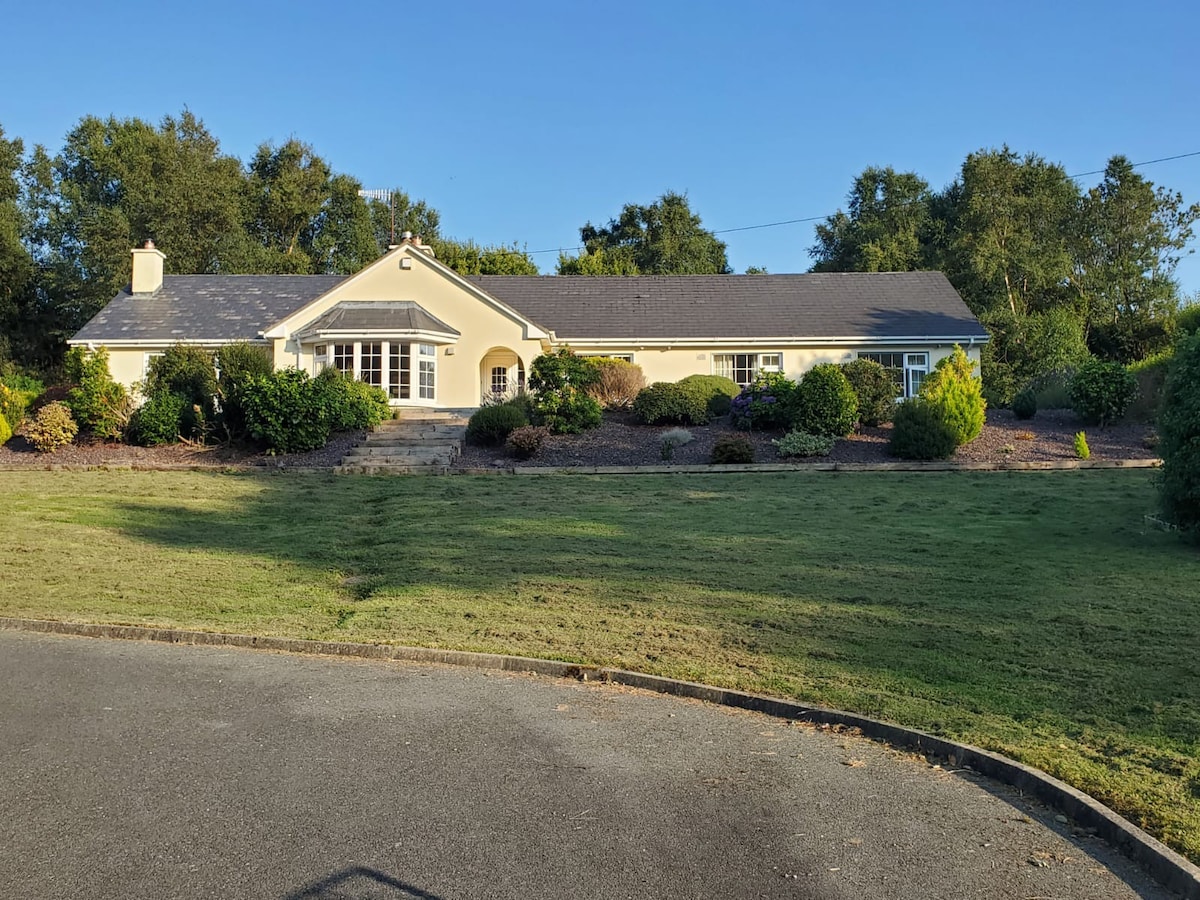 County HomeWorkhouse · 448 yd
 Famine MemorialMemorial · 475 yd
 GinkgoGinkgo · 820 yd
 Field boundary in Deerpark (magunihy By.)Field boundary · 926 yd
 Kerry 2nd Brigade of the Irish Republican ArmyMemorial · 999 yd
 Giant SequoiaGiant Sequoia · 1340 yd
 Jaunting ToursHeritage attraction · 1590 yd
 Circular WalkWalking route · 1640 yd
 River WalkWalking route · 1.4 mi
 Aghadoe Early Medieval Ecclesiastical SiteHeritage attraction · 1.8 mi
Other information
Photo: Credit not shown in the picture search · Rights wording not checked; contact us if this picture should be removed