
What is recorded here
From the National Monuments Service (Archaeological Survey of Ireland) record CO083-092
Places near here
Photo credits
- National Inventory of Architectural Heritage
- Maker not stated on source page, www.alamy.com
- Larry Cummins / EchoLive, www.echolive.ie
- Frabjousone, Wikimedia Commons · CC BY-SA 4.0
- Maker not stated on source page, it.pinterest.com
- Maker not stated on source page, www.flickr.com
- me, Wikimedia Commons · Public domain
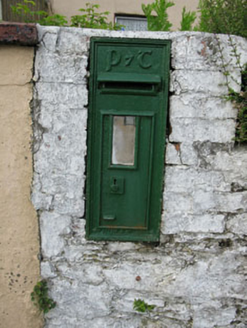 post box588 yd
Explorer Tom Post box in Curraclogh would tell its replacement that it looks like a plastic toy and has no soul whatsoever. It’s one…
 Hornhill MillMill (water) · 846 yd
Explorer Tom Hornhill Mill is pretending to be a store, but that red brickwork is screaming 'I used to grind corn!'. Built around…
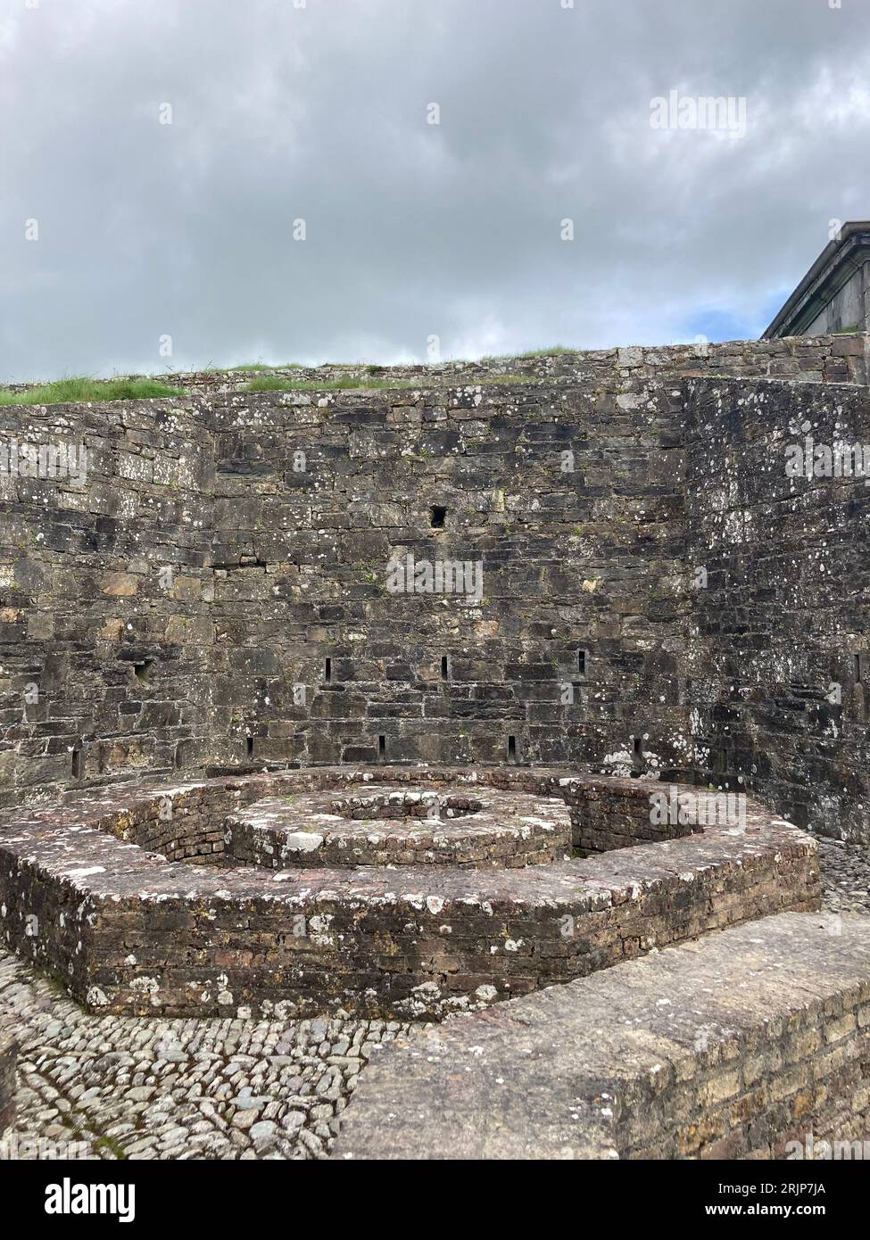 Fairy fort / earthen ringfort in Bengour EastFairy fort / earthen ringfort · 1444 yd
Explorer Tom Fairy fort in Bengour East is just a low bank with big boulders dumped on top. Someone was clearly lazy with their…
 Kilmurry GAA pitchGAA ground · 1.0 miFairy fort / earthen ringfort in Bengour WestFairy fort / earthen ringfort · 1.2 mi
Explorer Tom Fairy fort / earthen ringfort in Bengour West was levelled in 1979, likely because a very angry goat decided to…
 bridge1.2 mi
Explorer Tom Poularick Bridge is where the seagulls gather to complain about the dressed voussoirs and the rubble stone walls. They…
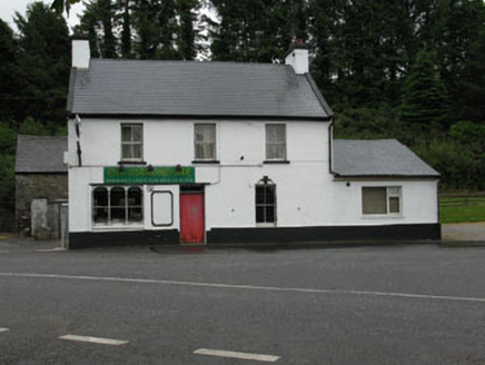 The Diamond BarHouse · 1.3 mi
Explorer Tom The Diamond Bar in Glannarouge East has had more names than I’ve had breakfasts, and it’s still confused about what it…
 Michael Collins MonumentMonument · 1.3 mi
Explorer Tom The Michael Collins Monument in Glannarouge West marks where he was assassinated in 1922 during the Béal na Blá Ambush.…
Michael Collins MemorialMemorial · 1.3 miExplorer Tom Michael Collins Memorial in County Cork is definitely the shortcut that is actually a dead end. It looks official but…
 Fairy fort / earthen ringfort in Currabeha (muskerry West By.)Fairy fort / earthen ringfort · 1.5 mi
Explorer Tom Fairy fort / earthen ringfort in Currabeha is basically invisible until the plough reveals a soil mark, like a shy…
 Fairy fort / earthen ringfort in Knockboy (muskerry West By.)Fairy fort / earthen ringfort · 1.5 mi
Explorer Tom Fairy fort / earthen ringfort in Knockboy is heavily overgrown on one side because the plants have decided they want…
 The Gearagh Nature ReserveNature reserve · 6.4 mi
Explorer Tom The Gearagh Nature Reserve remembers the time a priest lost a bet there and had to wear a penguin suit for a week…
More archaeology and monuments in County Cork · All of County Cork

What do you know about this place?Tap to add a comment or ask a question