What is recorded here
Gallán is a tall, flat standing stone in open pasture, not a buried ruin or hidden chamber. It stands about a metre and three-quarters high, with a long narrow body tilted slightly toward the east. People may have passed it for centuries, reading it as a marker, a warning or a gift from the land.
Not shown on 1842 and 1904 OS 6-inch maps. In level pasture. Stone (H 1.69m; 1.09m x 0.2m) is rectangular in plan, long axis NNE-SSW.
The above description is derived from the published 'Archaeological Inventory of County Cork. Volume 3: Mid Cork' (Dublin: Stationery Office, 1997). In certain instances the entries have been revised and updated in the light of recent research.
Date of upload/revision: 14 January 2009
The monument record does not grant public access. Check the route and ask the landowner before entering private land.
- What survives
- Recorded monument
Places near here
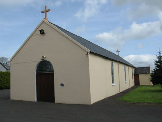 St Joseph's Roman Catholic Churchchurch/chapel · 106 yd
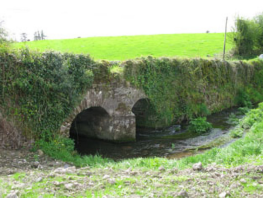 Courtbrack Bridgebridge · 351 yd
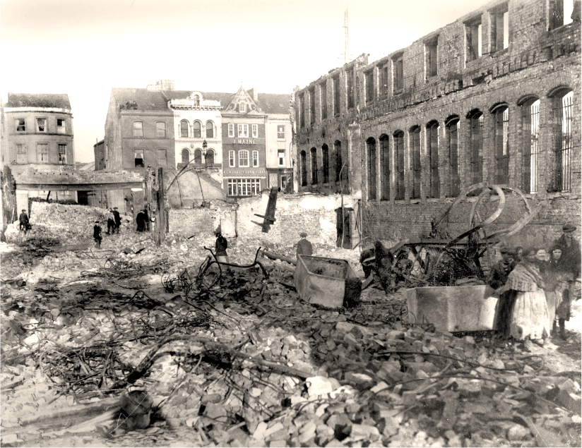 Burnt spread in CourtbrackBurnt spread · 893 yd
 Fulachta FiadhFulacht fia · 1600 yd
 Ballyvodane Castle (in Ruins)Castle, unclassified · 1.7 mi
 Castle (Site of)Castle, unclassified · 1.7 mi
 Pairc Ath Na hEornaMemorial · 2.8 mi
 Pakie HoganMemorial · 2.9 mi
 Ballyanly Inniscarra Slí na SláinteWalking route · 3.0 mi
 BatsVisitor information · 3.5 mi
 Waterloo Loop WalkWalking route · 3.7 mi
 River Martin Mill & WeirVisitor information · 3.7 mi