What is recorded here
Gallán is a subrectangular standing stone in Mid Cork bogland, rising 0.96m with a long axis pointing ENE-WSW. It escaped the 1842 survey map, hiding in open wetland where people may have set markers for direction, memory or warning. The stone still stands because the bog kept it straight while the world around forgot the hand that placed it.
Not shown on 1842 OS 6-inch map. In bogland. Stone (H 0.96m; 0.52m x 0.2m) is subrectangular in plan, long axis ENE-WSW.
The above description is derived from the published 'Archaeological Inventory of County Cork. Volume 3: Mid Cork' (Dublin: Stationery Office, 1997). In certain instances the entries have been revised and updated in the light of recent research.
Date of upload/revision: 14 January 2009
The monument record does not grant public access. Check the route and ask the landowner before entering private land.
- What survives
- Recorded monument
Places near here
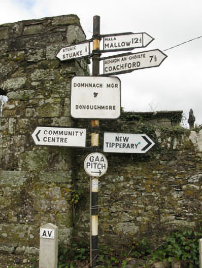 sign postsign post · 867 yd
 Grave YardGraveyard · 877 yd
 farm housefarm house · 1117 yd
 Lackabane LiosFairy fort / earthen ringfort · 1125 yd
 New TipperaryVisitor information · 1590 yd
 Saint Bartholomew's WellSpring · 1.9 mi
 Ballyvodane Castle (in Ruins)Castle, unclassified · 2.5 mi
 Oldcastle WoodWood · 3.1 mi
 Knockduff Wind FarmVisitor information · 3.8 mi
 Carrignamuck Tower HouseCastle · 3.9 mi
 Ballyanly Inniscarra Slí na SláinteWalking route · 4.8 mi
 Lyradane MountainMountain / peak · 4.9 mi