What is recorded here
Two stones, one fallen and one standing, mark a lost line on the eastern edge of the Martin River valley. They still point northeast and southwest across rough pasture, preserving the shape of whatever ceremony or boundary they once served.
On low knoll, in rough pasture, on E side of Martin River valley. SW stone is fallen; it measures 1m L, 0.5m T and, if erect, over 2m H. Second stone stands 2m to NE; it is 1.07m L, 0.5m T and 1.17m H. Stones appear to have been aligned NE-SW; estimated overall length is c. 4.2m.
The above description is derived from the published 'Archaeological Inventory of County Cork. Volume 3: Mid Cork' (Dublin: Stationery Office, 1997). In certain instances the entries have been revised and updated in the light of recent research.
Date of upload/revision: 14 January 2009
Likely dating to the Bronze Age, the stones may have functioned as a boundary marker or ritual pair. Local tradition sometimes associates such stones with early Christian figures, though the name "Gallán" (meaning "stranger" or "foreigner") may hint at a later, medieval layer of folklore.
The monument record does not grant public access. Check the route and ask the landowner before entering private land.
- What survives
- Recorded monument
Places near here
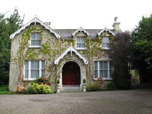 Stone Viewhouse · 647 yd
 water pumpwater pump · 680 yd
 Fulachta FiadhFulacht fia · 730 yd
 Milestone (present location) in ArdamadaneMilestone (present location) · 1488 yd
 BatsVisitor information · 1552 yd
 Waterloo Loop WalkWalking route · 1749 yd
 River Martin Mill & WeirVisitor information · 1753 yd
 Jerry O'Connor 1955-2005Memorial · 1.0 mi
 Pakie HoganMemorial · 1.2 mi
 Garrycloyne Castle (in Ruins)Castle, tower house · 1.5 mi
 Ring WoodWood · 1.5 mi
:BlarneyCastle,KinsaleCorkCityShoreTour-KlookIndia.jpg) Clogheenmilcon SanctuaryNature reserve · 2.0 mi
Clogheenmilcon SanctuaryNature reserve · 2.0 mi