What is recorded here
Gallan is a rectangular standing stone with a pointed top in County Cork, Ireland. It stands thirty-seven centimetres taller than a person, leaning slightly toward the eastern horizon. A levelled ringfort lies one hundred metres to the southwest, suggesting the stone marked a boundary or gathered people for ceremony. The pasture remains quiet, but the stone still points at the sky like a finger waiting for an answer.
In level pasture with view to E; levelled ringfort (CO053-036---) c. 100m to SW. Rectangular stone with pointed top (H 3.75m; 1.1m x 0.9m), long axis ENE-WSW.
The above description is derived from the published 'Archaeological Inventory of County Cork. Volume 2: East and South Cork' (Dublin: Stationery Office, 1994). In certain instances the entries have been revised and updated in the light of recent research.
Date of upload/revision: 14 January 2009
The monument record does not grant public access. Check the route and ask the landowner before entering private land.
- What survives
- Recorded monument
Places near here
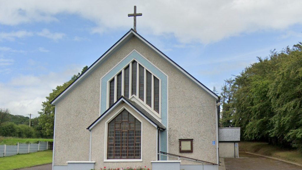 Church (in Ruins)Church · 1218 yd
 IndicatedFairy fort / earthen ringfort · 1301 yd
 Fulacht fia in Ballinlegane (barrymore By.)Fulacht fia · 1366 yd
 Watergrasshill Church of Ireland Churchchurch/chapel · 1.6 mi
 Castle (Site of)Castle, unclassified · 1.7 mi
 Graveyard in Killuntin NorthGraveyard · 2.4 mi
 Graveyard in GlenvilleGraveyard · 2.9 mi
 Moanbaun ForestForest · 3.9 mi
 Sarsfields Court (in Ruins)Castle, unclassified · 4.1 mi
 Devonshire's HillMountain / peak · 4.2 mi
 Monananig WoodsWood · 4.6 mi
 Cork WalksVisitor information · 8.4 mi