What is recorded here
On rolling arable land in headwaters of tributary of Butlerstown river. Row of three stones, two of which are prostrate, appears to have been aligned NE-SW. NE prostrate stone is 3.3m by 1.5m and is 0.3m T. Next stone lies 3m to SW and is 2.8m by 1.3m and is 0.45m T. Third stone stands 1.4m to SW and is 1.8m L, 0.8m T and 2.8m H. (O Nualláin 1988, 232, No. 14)
The above description is derived from the published 'Archaeological Inventory of County Cork. Volume 2: East and South Cork' (Dublin: Stationery Office, 1994). In certain instances the entries have been revised and updated in the light of recent research.
Date of upload/revision: 14 January 2009
Likely dating to the Bronze Age, the row of stones may have functioned as a ritual or ceremonial alignment. Local names and folklore often associate such sites with early Christian saints or ancient territorial markers, though specific traditions for this site are not recorded.
The monument record does not grant public access. Check the route and ask the landowner before entering private land.
- What survives
- Recorded monument
Places near here
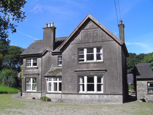 Ballindeenisk Househouse · 248 yd
 Water millWater mill, horizontal-wheeled · 987 yd
 Burnt mound in CrushyrireeBurnt mound · 1085 yd
 Castle (Site of)Castle, unclassified · 1.1 mi
 Enclosure in Ballinlegane (barrymore By.)Enclosure · 1.3 mi
 Sarsfields Court (in Ruins)Castle, unclassified · 2.5 mi
 Gleeson MemorialMemorial · 3.4 mi
 Glanmire Heritage SocietyMemorial · 4.1 mi
 Carberrytown WoodWood · 4.4 mi
 Moanbaun ForestForest · 4.7 mi
 Murphy's RockViewpoint · 4.8 mi
 Cork WalksVisitor information · 5.0 mi