What is recorded here
Gallán stood in County Cork as an irregular sandstone pillar with a wedge-shaped top, reaching seventy-two inches above the earth before disappearing around 1980. The stone resisted mapping on both the 1842 and 1904 surveys, hiding its presence from official record while likely guiding local memory for generations. A housing estate now occupies the site, burying the pillar beneath concrete and forgetting its shape. What remains is the risk that an unusual marker vanished without witness, leaving behind only a coordinate and a gap where something visible once stood.
Not shown on 1842 and 1904 OS 6-inch maps. Removed c. 1980. Housing estate now on site. According to Hartnett (1939, 148) 'Irregular sandstone with wedge-shaped top. It is 72ins high and approximately 31in by 20in in cross-section at the base'.
The above description is derived from the published 'Archaeological Inventory of County Cork. Volume 3: Mid Cork' (Dublin: Stationery Office, 1997). In certain instances the entries have been revised and updated in the light of recent research.
Date of upload/revision: 14 January 2009
Likely dating to the Bronze Age, the stone may have had ritual or territorial significance. The name "Gallán" could reflect early Irish tradition, though specific folklore or use is not recorded.
The monument record does not grant public access. Check the route and ask the landowner before entering private land.
- What survives
- Recorded monument
Places near here
 Cave in Ballincollig (muskerry East By., Carrigrohane Par.)Cave · 502 yd
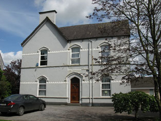 Ballincollig Presbyterypresbytery/parochial/curate's house · 518 yd
 Ballincollig Castle (in Ruins)Castle, tower house · 521 yd
 Ballincollig CastleCastle · 533 yd
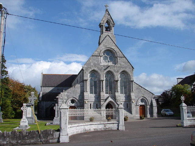 St Mary and St John's Roman Catholic Churchchurch/chapel · 544 yd
 Patrick BurnsMemorial · 1050 yd
 Man-made underground passage in CarrigrohaneMan-made underground passage · 1193 yd
 Pit-burial in Greenfield (muskerry East By.)Pit-burial · 1235 yd
 Stone BeachBeach / strand · 1.3 mi
 Sunday WellSpring · 1.5 mi
 Hugh MaguireMemorial · 1.8 mi
 Grange HillMountain / peak · 2.3 mi