What is recorded here
Galláin is a standing stone in County Cork, Ireland. Broker (1937, 25) recorded two galláin 10 feet apart, one standing 8 feet high and the other thrown down. The fallen stone measured 10 or 12 ft long and 5ft in girth. One stone still leans slightly east-northeast in pasture while the other has disappeared or been buried beneath field clearance stones.
In pasture. Depicted as pair of standing stones on 1842, 1904 and 1936 OS 6-inch maps. Single stone (H 1.7m; 1.2m x 0.4m) survives, roughly rectangular in plan and leaning slightly to ENE; long axis NNE-SSW. Some large stones including field clearance stones lying to SW. Broker (1937, 25) recorded 'two galláin 10 feet apart, one standing 8 feet high....the other thrown down, 10 or 12 ft long and 5ft in girth, rather flat....'.
The above description is derived from the published 'Archaeological Inventory of County Cork. Volume 3: Mid Cork' (Dublin: Stationery Office, 1997). In certain instances the entries have been revised and updated in the light of recent research.
Date of upload/revision: 14 January 2009
Likely dating to the Bronze Age, the stone may have served as a boundary marker or ritual monument. Local folklore sometimes associates such stones with ancient druidic practices or protective charms.
The monument record does not grant public access. Check the route and ask the landowner before entering private land.
- What survives
- Recorded monument
Places near here
 Burial ground in Killowen (muskerry West By.)Burial ground · 771 yd
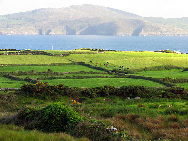 IndicatedKiln, lime · 1191 yd
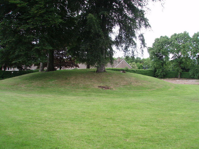 TumulusKiln, lime · 1367 yd
 Fulacht fia in Drishane Beg (muskerry West By.)Fulacht fia · 1705 yd
 Rathcool WoodWood · 1.4 mi
 Castle and TurretCastle, tower house · 1.8 mi
 Dromsicane Castle (in Ruins)Bawn · 2.5 mi
 Millstreet Tourist InformationVisitor information · 2.8 mi
 St. Patrick's ChurchVisitor information · 2.8 mi
 Millstreet Museum & Tourist Information CentreMuseum · 2.9 mi
 Battle of Knocknaclashybattle · 3.0 mi
 Blackwater (Duhallow) WayWalking route · 3.2 mi