What is recorded here
Galláin is a three-stone row in West Cork pasture, aligned east to west across a gentle south-facing slope. The nearest stone leans south like a person bending to listen, while the other two stand taller and farther apart. Two more stone pairs wait fifty and one hundred metres away, suggesting a wider arrangement now reduced to fragments. People may have walked this line to mark season, boundary or memory, but the stones no longer explain themselves.
In level pasture on gentle S-facing slope. Row of three stones, aligned ENE-WSW, 6.4m in overall length. NE stone leans markedly to S; it is 0.65m L, 0.15m T and, when erect, would have stood 1.3m H. Next stone, 2.8m to SW, is 0.5m L, 0.6m T and 1.6m H. SW stone, 1.3m from last, is 1.2m L, 0.65m T and 1.6m H. Pair of standing stones (CO118-054001-) 50m to NNW and second pair (CO118-054003-) 100m to SSE. (Ó Nualláin 1988, 236, no. 48; Roberts 1988, Ch. 5, no. 10).
The above description is derived from the published 'Archaeological Inventory of County Cork. Volume 1: West Cork' (Dublin: Stationery Office, 1992). In certain instances the entries have been revised and updated in the light of recent research.
Date of upload/revision: 14 January 2009
The monument record does not grant public access. Check the route and ask the landowner before entering private land.
- What survives
- Recorded monument
Places near here
 Ardrah FortFairy fort / earthen ringfort · 956 yd
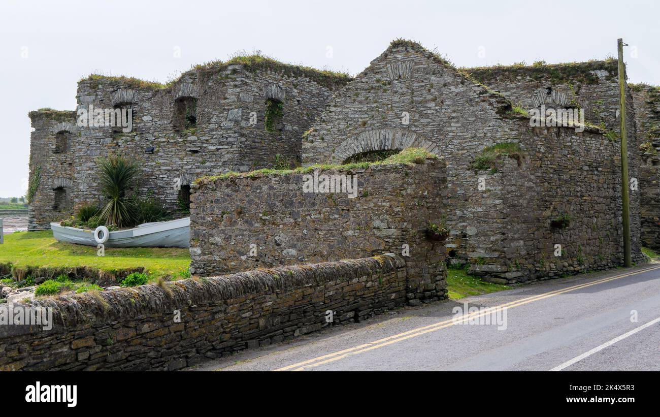 Scartbaun Burial Gd (Disused)Burial ground · 1102 yd
 Scart Castle (Site of)Castle, unclassified · 1248 yd
 Maggie MurphysRuins · 1579 yd
 Durrus Church (in Ruins)Church · 1.1 mi
 Seskin ViewViewpoint · 1.2 mi
 GinkgoGinkgo · 1.8 mi
 Bantry HouseHeritage attraction · 1.9 mi
 Tourist OfficeVisitor information · 2.1 mi
 Statue of Wolfe ToneMemorial · 2.1 mi
 Graveyard in TownlotsGraveyard · 2.1 mi
 KnockboolteenaghMountain / peak · 2.3 mi