What is recorded here
Galláin is a lost standing stone in County Cork, Ireland. Two stones stood beside a low mound in the Awbeg River valley before people buried them nearby in Spring 1977. The pasture keeps their absence plain, depriving the area of the rare chance to touch something old and unexplained.
In flat pasture on W side and in headwaters of Awbeg River valley. Two stones stood 4.6m apart immediately E of low mound (diam. c. 6m; H 0.6m). North stone was 0.75m H x 0.9m x 0.6m. South stone was 1.37m H x 1.22m x 0.6m. Stones were removed and buried nearby in Spring 1977. No visible surface trace. (OS Memoranda 1932, A/93/6)
The above description is derived from the published 'Archaeological Inventory of County Cork. Volume 4: North Cork' (Dublin: Stationery Office, 2000). In certain instances the entries have been revised and updated in the light of recent research.
Date of upload/revision: 14 January 2009
Likely dating to the late Neolithic or Bronze Age, the pair of standing stones at Galláin may have functioned as a ritual or ceremonial alignment, possibly linked to the nearby low mound. Their placement near a river headwater suggests a connection to landscape features significant in prehistoric belief or land use.
The monument record does not grant public access. Check the route and ask the landowner before entering private land.
- What survives
- Recorded monument
Places near here
 Enclosure in Glenfield SouthEnclosure · 445 yd
 Enclosure in RockspringEnclosure · 771 yd
 Liscarroll CastleCastle · 1511 yd
 Battle of LiscarrollMajor battlefield · 1596 yd
 Ch (in Rns)Church · 1638 yd
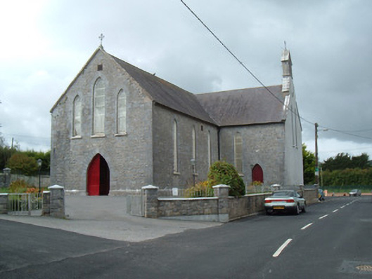 Saint Joseph's Churchchurch/chapel · 1638 yd
 Castle (Site of)Castle, unclassified · 2.4 mi
 Windmill HillMountain / peak · 3.0 mi
 Churchtown TrailsVisitor information · 3.8 mi
 Lady's WellSpring · 4.0 mi
 Ballyhoura WayWalking route · 4.3 mi
 National Co-op MuseumMuseum · 6.1 mi