What is recorded here
A Registered Historic Monument (No. 2/2009). At the S end of a low N-S pasture ridge. A completely overgrown, rectangular graveyard (dims. L c. 50m NE-SE; Wth c. 45m) contains some finely carved 18th and 19th century headstones together with a small number of table tombs and slabs. May be the site of an Early Christian foundation (KD024-003005-). An 18th century church (KD024-003001-), occupying the site of an earlier, medieval church (KD024-003002-), the W tower of which survives, stands to S of centre in the interior, and a complex Man-made underground passage (KD024-003003-) lies in the adjoining field immediately to the SW. (http://kildare.co/Graveyard-Details.asp?ID=K079 Last accessed 06-06-2012)
Compiled by: Gearóid Conroy
Date of upload: 07 June 2012
The monument record does not grant public access. Check the route and ask the landowner before entering private land.
- What survives
- Recorded monument
Places near here
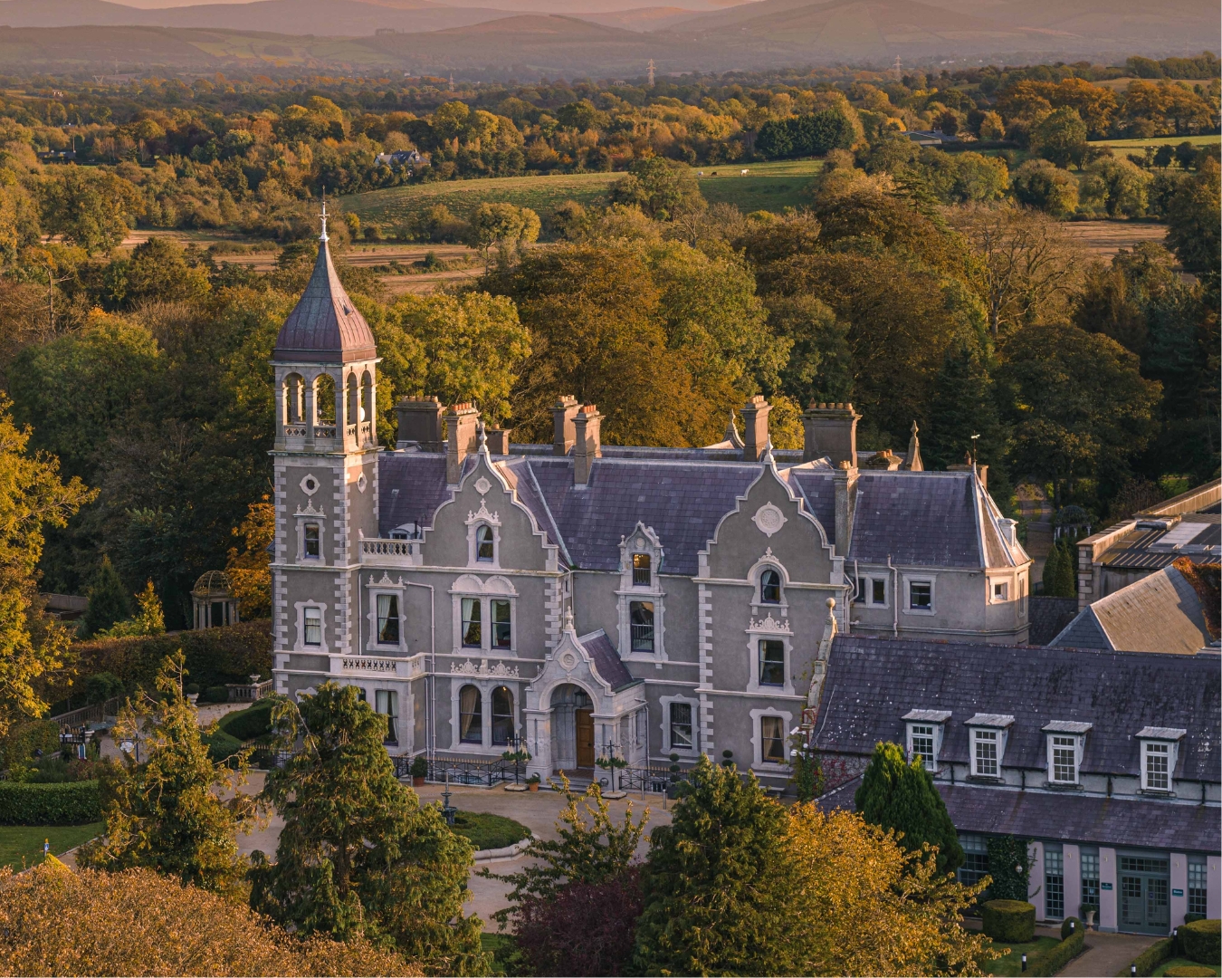 Church in Killashee (killashee Ed)Church · 1 yd
 Site of CastleCastle, unclassified · 62 yd
 St Patricks WellHoly well · 394 yd
 Enclosure in Killashee (killashee Ed)Enclosure · 496 yd
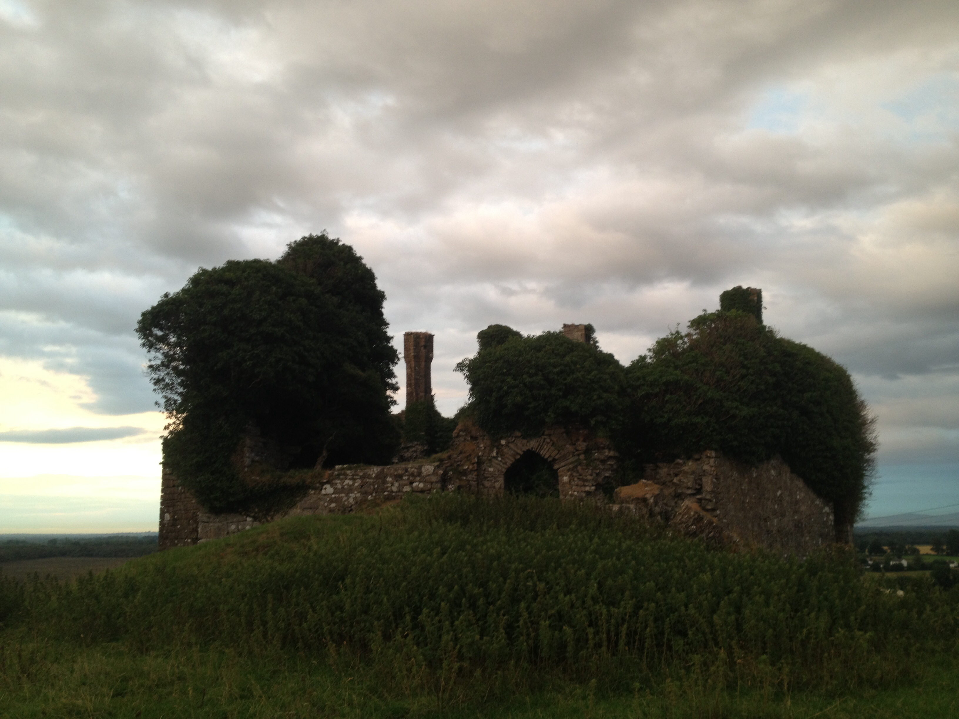 CastleCastle, unclassified · 1513 yd
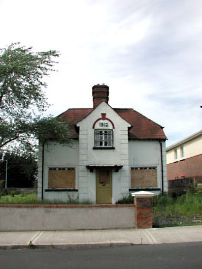 Ballycane Househouse · 1.6 mi
 Poplar SquarePicnic place · 2.2 mi
 Sillagh Bog WoodForest · 2.3 mi
 Monread District Park WoodsWood · 3.0 mi
 Museum of MotorsportMuseum · 5.5 mi
 Cupidstown HillMountain / peak · 7.8 mi
 OldcourtMemorial · 8.4 mi