What is recorded here
G Yd is a cramped graveyard at the southeast edge of Ballyhooly village, squeezed between a stone wall and a sharp drop into a river valley. The ruined parish church forms part of its boundary, and headstones crowd the ground despite its small size. People have buried their dead there since at least 1755, turning a narrow strip of land into a dense ledger of local lives.
On S side of road, immediately E of grounds of Ballyhooly Castle (14355), at SE end of Ballyhooly village. Irregular graveyard (max. c. 50m E-W; max. c. 28m N-S) enclosed by roadside stone wall with concrete gate piers to NE, and sharp drop down to river valley to S. Ruin of parish church of Ballyhooly (14412) forms part of W and N boundaries. In occasional use; crowded with headstones, earliest noted dated 1755 (see Grove White 1905-25, vol. 1, 229); graves in interior of church.
The above description is derived from the published 'Archaeological Inventory of County Cork. Volume 4: North Cork' (Dublin: Stationery Office, 2000). In certain instances the entries have been revised and updated in the light of recent research.
Date of upload/revision: 14 January 2009
The monument record does not grant public access. Check the route and ask the landowner before entering private land.
- What survives
- Recorded monument
Places near here
 Church (in Ruins)Church · 39 yd
 Ballyhooly CastleCastle · 56 yd
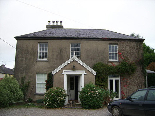 rectory/glebe/vicarage/curate's houserectory/glebe/vicarage/curate's house · 133 yd
 G YdGraveyard · 151 yd
 Enclosure in Ballyhooly NorthEnclosure · 989 yd
 Johnson's WoodForest · 1009 yd
 Priest's WoodForest · 1390 yd
 Blackwater (Avondhu) WayWalking route · 1472 yd
 Castle Blagh (Site of)Castle, unclassified · 1.2 mi
 Liam BurkeMemorial · 2.3 mi
 Knocknaskagh North TopMountain / peak · 2.5 mi
 Cappagh XViewpoint · 3.0 mi