What is recorded here
On a steep SW-facing slope in a natural hollow. Excavated in 2007 in advance of the N9/N10 Kilcullen to Waterford road improvement scheme (Licence no. E3391, E3645). Two sequential furnaces in one location. The primary furnace was a circular pit (diam. 0.4m; D 0.26m) with steep sides and a rounded base. It was cut through at E by the secondary furnace (diam. 0.4m; D 0.26m) which was also circular with steep sides and a rounded base. This pit had an oxidised base and sides and contained black silty charcoal, undiagnostic slag. This pit was joined to a wider subrectangular ‘working hollow’ (1.2m N-S; 1m E-W; D 0.22m). Some charred barley grains amongst the charcoal yielded a radiocarbon date of cal AD 429-562 (UBA-15540). A pit with metalworking waste was excavated 27m to the NE. Four fulachta fia (KK040-091----, KK040-092----, KK040-093---- and KK040, 094----) were excavated in the same area. (Wren 2010a; 2010b, 243-4, 916)
Compiled by: Mary Tunney
Date of upload: 27 November 2013
The monument record does not grant public access. Check the route and ask the landowner before entering private land.
- What survives
- Recorded monument
Places near here
 Enclosure in EarlsrathEnclosure · 123 yd
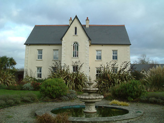 Mount Saint Josephconvent/nunnery · 593 yd
 Ballynoony West Ringfort (Rath)Archaeological place · 778 yd
 Ballynoony Castle (Site of)Castle, unclassified · 1081 yd
 Lukeswell Bridgebridge · 1553 yd
 Crowbally Castle (Site of)Castle, unclassified · 1.3 mi
 Poulanassy WaterfallWaterfall · 1.9 mi
 Clonassy WoodForest · 2.4 mi
 Tory HillMountain / peak · 3.3 mi
 Common AlderCommon Alder · 3.8 mi
 Thomas PhelanMemorial · 4.3 mi
 Graveyard in KilkeasyGraveyard · 4.4 mi