What is recorded here
On a slight SE-facing slope in a large wet field in pasture. Named ‘Fulacht fian’ on the 1938 OS 6-inch map. On inspection on 18 September 2017 there were no visible remains at ground level. There is no evidence of ground disturbance in the area on aerial photographs as early as 26/5/2004 (Google Earth) and so the monument is likely to have been levelled before that time. Sub-surface deposits may survive.
Compiled by: Mary Tunney
Date of upload: 18 September 2017
The monument record does not grant public access. Check the route and ask the landowner before entering private land.
- What survives
- Recorded monument
Places near here
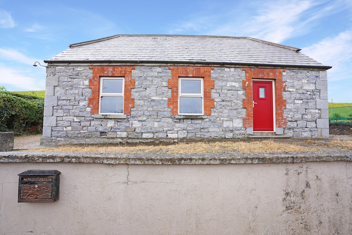 Enclosure in CoolderryEnclosure · 795 yd
 Aharinagh Castle (in ruins)Castle, unclassified · 1004 yd
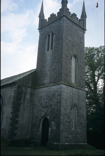 Cloonlara Church (Kiltenanlea)church/chapel · 1.3 mi
 Saint Senan's Catholic Churchchurch/chapel · 1.3 mi
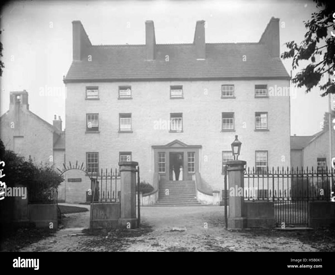 Enclosure in EarlhillEnclosure · 1.4 mi
 Newtown Castle (in Ruins)Castle, unclassified · 1.7 mi
 Seán Keating GalleryGallery · 2.4 mi
 Ardnacrusha ToursMuseum · 2.4 mi
 Kilroughil Graveyard (Site of)Archaeological place · 4.1 mi
 Visitor CentreVisitor information · 4.3 mi
 Campus MapVisitor information · 4.3 mi
 Broadford Mass RockMemorial · 4.8 mi